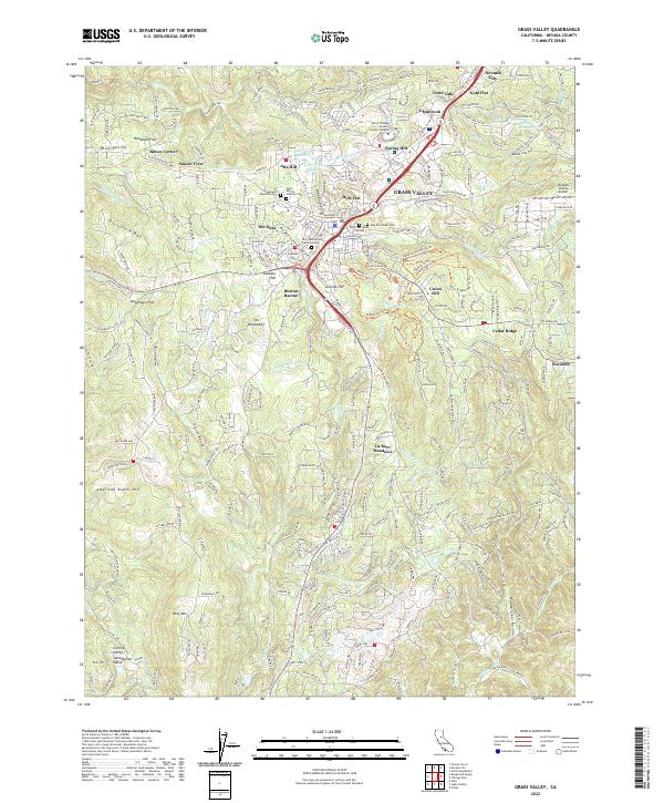
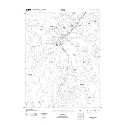
2022 Map of Grass Valley
USGS Topo · Published 2022About this map
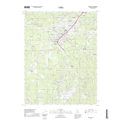
Grass Valley and Nevada City anchor this landscape, connected by the historical Nevada City Hwy corridor. The map reveals the intricate water management system essential to the Sierra Nevada foothills, featuring the Grass Valley Ditch, White Ditch, and Allison Ranch Ditch. These conduits, along with various reservoirs like Alta Hill Reservoir, trace the legacy of hydraulic engineering in the region.
Find a feature on this map
68 named features on this map. Tap any name to fly to it.
Don’t see what you’re looking for? This feature index may not catch every label — zoom into the map to look around manually.
Map Details
Editions of this 2022 Grass Valley Map
This is the sole edition of this map. No revisions or reprints were ever made.
Historical Maps of Grass Valley Through Time
9 maps found
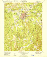
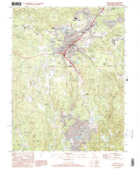
1949 Grass Valley
Nevada County, CA
1949 Grass Valley
Nevada County, CA
1950 Grass Valley
Nevada County, CA
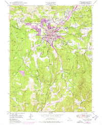
1995 Grass Valley
Nevada County, CA
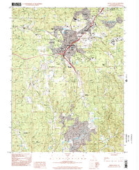
1998 Grass Valley
Nevada County, CA
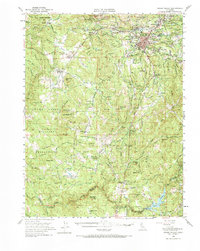
2012 Grass Valley
Nevada County, CA
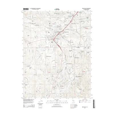
2015 Grass Valley
Nevada County, CA
2018 Grass Valley
Nevada County, CA
2022 Grass Valley
Nevada County, CA