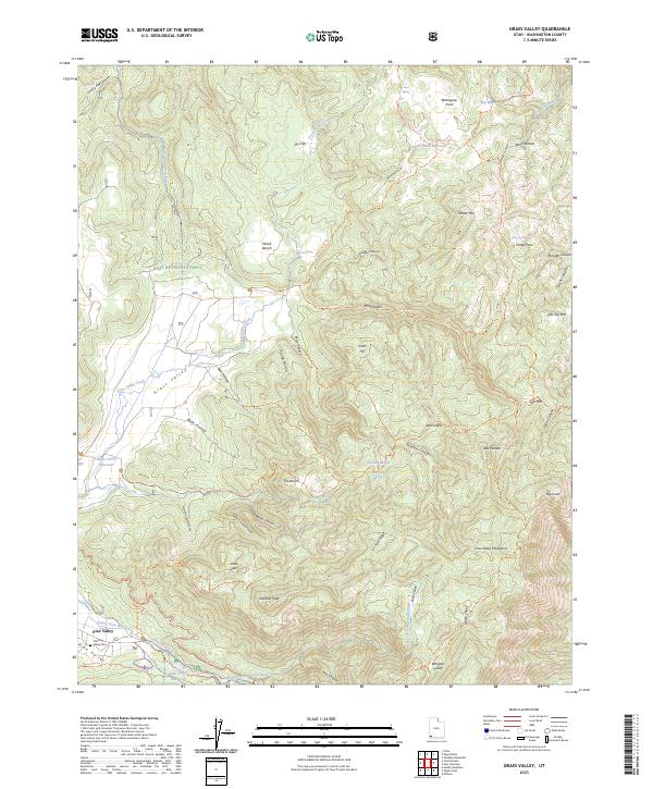
2023 Map of Grass Valley
USGS Topo · Published 2023About this map
Pine Valley sits at the base of the high mountains in Washington County, where the Santa Clara River begins its course through a complex system of canyons and alpine meadows. The settlement's history is anchored by the Old Pine Valley Cem, while the surrounding Dixie National Forest reflects a landscape defined by livestock and water management. High-elevation pastures like Bens Pasture and landmarks such as The Bench and Timber Mtn overlook a network of critical water sources, including the White Rocks Reservoir and Pine Valley Reservoir. The terrain is deeply incised by features like Reservoir Canyon and Main Canyon, with the Pine Valley Mountain Wilderness preserving the primitive character of the eastern peaks. A dense network of paths, including the Santa Clara River Trl and Whipple Trl, connects these valleys, showing how the local geography has dictated movement between the flats and the high ridgelines.
Find a feature on this map
69 named features on this map. Tap any name to fly to it.
Don’t see what you’re looking for? This feature index may not catch every label — zoom into the map to look around manually.
Map Details
Editions of this 2023 Grass Valley Map
This is the sole edition of this map. No revisions or reprints were ever made.
Other maps of this area

1885 · St. George
USGS Topo · 1:250,000

1891 · St. George
USGS Topo · 1:250,000

1950 · Iron Mountain
USGS Topo · 1:62,500

1950 · Stoddard Mtn
USGS Topo · 1:24,000

1950 · Page Ranch
USGS Topo · 1:24,000

1951 · Stoddard Mtn
USGS Topo · 1:24,000

1951 · Page Ranch
USGS Topo · 1:24,000

1953 · Cedar City
USGS Topo · 1:250,000

1954 · La Verkin 2 SE
USGS Topo · 1:24,000

1957 · New Harmony
USGS Topo · 1:62,500