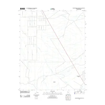
2011 Map of Grasshopper Junction
USGS Topo · Published 2011About this map
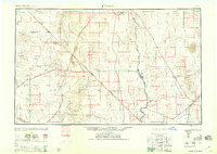
Grasshopper Junction sits at a crossroads in the high desert of Mohave County, where the landscape is defined by an intricate network of seasonal drainage patterns. The terrain is dominated by several significant watercourses, including Putman Wash in the north and the expansive Detrital Wash, which winds across the central valley floor. In the south, the prominent rise of Sugarloaf Mountain stands as a landmark above Sacramento Wash. This 2011 survey reveals a grid of local roads and avenues, such as Turquoise Rd and Montere Ave, that push into the arid flats. The map documents the persistent influence of the natural environment on human settlement, showing how local infrastructure like Co Hwy 125 navigates between the ephemeral Big Wash and the surrounding desert peaks. For those studying the geography of western Arizona, these details provide a clear picture of the region's hydrography and rural development.
Find a feature on this map
30 named features on this map. Tap any name to fly to it.
Don’t see what you’re looking for? This feature index may not catch every label — zoom into the map to look around manually.
Map Details
Editions of this 2011 Grasshopper Junction Map
This is the sole edition of this map. No revisions or reprints were ever made.
Other maps of this area
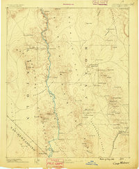
1886 · Camp Mohave
USGS Topo · 1:250,000
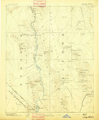
1892 · Camp Mohave
USGS Topo · 1:250,000
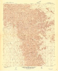
1939 · Chloride
USGS Topo · 1:48,000
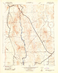
1942 · Camp Mohave
USGS Topo · 1:250,000
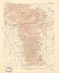
1944 · Chloride
USGS Topo · 1:62,500

1947 · Kingman
USGS Topo · 1:250,000

1948 · Kingman
USGS Topo · 1:250,000
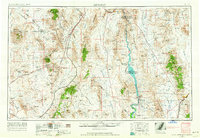
1954 · Kingman
USGS Topo · 1:250,000
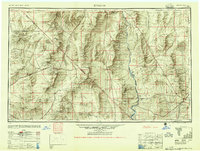
1955 · Kingman
USGS Topo · 1:250,000
1958 · Kingman
USGS Topo · 1:250,000