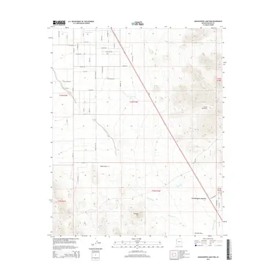
2014 Map of Grasshopper Junction
USGS Topo · Published 2014About this map
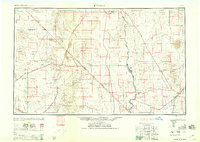
Grasshopper Junction serves as the focal point of this arid landscape, situated at the intersection of Us 93 and W Chloride Rd. The settlement is positioned within the expansive Detrital Valley, a broad drainage basin that transitions from the alluvial fans of the Mojave Desert into the western slopes of the Cerbat Mountains. The geography is defined by a complex network of ephemeral watercourses, including the prominent Putman Wash in the north and Detrital Wash, which channel seasonal runoff toward the southwest. In the southern portion of the quadrangle, Sugarloaf Mtn rises as a distinct topographical landmark, while the desert floor is crisscrossed by a grid of local access routes such as Silver Sage Rd and Montere Ave. This 2014 survey documents the modern layout of the junction and its surrounding ranch and desert tracks before continued development in the High Desert region.
Find a feature on this map
50 named features on this map. Tap any name to fly to it.
Don’t see what you’re looking for? This feature index may not catch every label — zoom into the map to look around manually.
Map Details
Editions of this 2014 Grasshopper Junction Map
This is the sole edition of this map. No revisions or reprints were ever made.
Other maps of this area
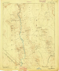
1886 · Camp Mohave
USGS Topo · 1:250,000
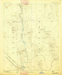
1892 · Camp Mohave
USGS Topo · 1:250,000
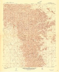
1939 · Chloride
USGS Topo · 1:48,000
1942 · Camp Mohave
USGS Topo · 1:250,000
1944 · Chloride
USGS Topo · 1:62,500

1947 · Kingman
USGS Topo · 1:250,000

1948 · Kingman
USGS Topo · 1:250,000
1954 · Kingman
USGS Topo · 1:250,000
1955 · Kingman
USGS Topo · 1:250,000
1958 · Kingman
USGS Topo · 1:250,000