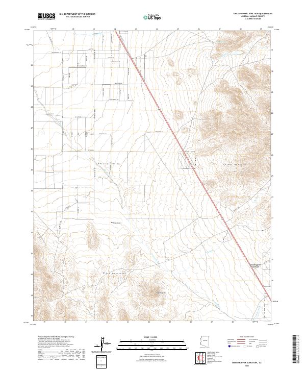
2021 Map of Grasshopper Junction
USGS Topo · Published 2021About this map
Grasshopper Junction serves as the focal point for this landscape where the Cerbat Mountains meet the Detrital Valley. The topography is dominated by the steep slopes of the Cerbats to the east and the Black Mountains to the southwest, with Sugarloaf Mtn standing as a prominent landmark. This region of the Mojave Desert is defined by its drainage patterns, notably the Detrital Wash, Putman Wash, and Big Wash, which carve through the arid plains toward the Sacramento Valley.
Find a feature on this map
50 named features on this map. Tap any name to fly to it.
Don’t see what you’re looking for? This feature index may not catch every label — zoom into the map to look around manually.
Map Details
Editions of this 2021 Grasshopper Junction Map
This is the sole edition of this map. No revisions or reprints were ever made.
Other maps of this area

1886 · Camp Mohave
USGS Topo · 1:250,000

1892 · Camp Mohave
USGS Topo · 1:250,000

1939 · Chloride
USGS Topo · 1:48,000

1942 · Camp Mohave
USGS Topo · 1:250,000

1944 · Chloride
USGS Topo · 1:62,500

1947 · Kingman
USGS Topo · 1:250,000

1948 · Kingman
USGS Topo · 1:250,000

1954 · Kingman
USGS Topo · 1:250,000

1955 · Kingman
USGS Topo · 1:250,000

1958 · Kingman
USGS Topo · 1:250,000