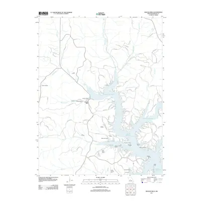
2011 Map of Gravois Mills
USGS Topo · Published 2011About this map
Gravois Mills serves as the focal point for this survey, situated at the head of the Gravois Arm of the Lake of the Ozarks. The landscape is defined by the transition from rural creek valleys like Gravois Creek and Soap Creek into the developed, finger-like shorelines of the reservoir. A significant number of family-named burial sites are present throughout the area, including the Hume Cemetery, Ivy Cemetery, Holst Cemetery, and Sidebottom Cemetery, providing essential data for genealogists tracing local family roots.
Find a feature on this map
137 named features on this map. Tap any name to fly to it.
Don’t see what you’re looking for? This feature index may not catch every label — zoom into the map to look around manually.
Map Details
Editions of this 2011 Gravois Mills Map
This is the sole edition of this map. No revisions or reprints were ever made.
Other maps of this area

1888 · Versailles
USGS Topo · 1:125,000

1893 · Versailles
USGS Topo · 1:125,000

1904 · Eldon
USGS Topo · 1:62,500

1904 · Gravois Mills
USGS Topo · 1:62,500

1932 · Versailles No 4
USGS Topo · 1:48,000

1934 · Purvis
USGS Topo · 1:24,000

1934 · Irontown Ferry
USGS Topo · 1:24,000

1934 · Lake Ozark
USGS Topo · 1:24,000

1935 · Gravois Mills
USGS Topo · 1:24,000

1935 · Proctor Creek
USGS Topo · 1:24,000