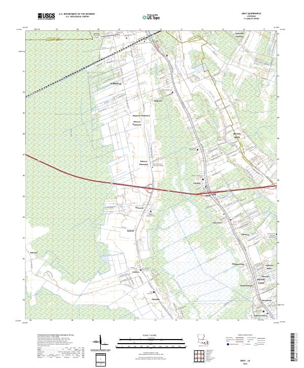
2024 Map of Gray
USGS Topo · Published 2024About this map
Plantation history and modern suburban growth intersect along the border of Lafourche Parish and Terrebonne Parish. The landscape is defined by its historical agricultural legacy, preserved in the names of Magnolia Plantation, Minerva Plantation, and Rebecca Plantation. These large tracts are flanked by established settlements like Schriever and Gray, which have increasingly transitioned from rural crossroads to residential hubs. The mapping of numerous cemeteries, including Saint Bridget Cem and First Baptist Magnolia Cem, provides a significant resource for genealogists researching the deep family roots of this bayou region.
Find a feature on this map
132 named features on this map. Tap any name to fly to it.
Don’t see what you’re looking for? This feature index may not catch every label — zoom into the map to look around manually.
Map Details
Editions of this 2024 Gray Map
This is the sole edition of this map. No revisions or reprints were ever made.
Other maps of this area

1892 · Lac Des Allemands
USGS Topo · 1:62,500

1892 · Gibson
USGS Topo · 1:62,500

1892 · Houma
USGS Topo · 1:62,500

1892 · Thibodaux
USGS Topo · 1:62,500

1897 · Gibson
USGS Topo · 1:62,500

1932 · Lac Des Allemands SW
USGS Topo · 1:31,680

1932 · Houma SW
USGS Topo · 1:31,680

1932 · Houma NW
USGS Topo · 1:31,680

1932 · Thibodaux SE
USGS Topo · 1:31,680

1932 · Thibodaux SW
USGS Topo · 1:31,680