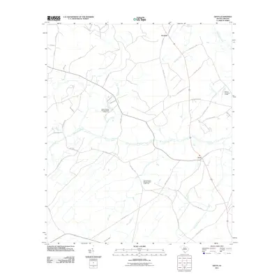
2011 Map of Grays
USGS Topo · Published 2011About this map
Grays and Horsegall anchor this rural landscape in Hampton County, where a network of South Carolina state highways and local roads connects small communities and agricultural lands. The hydrology of the region is defined by the Coosawhatchie River on the northeastern edge and a series of westward-flowing tributaries including Horsegall Creek, Alligator Creek, and Johns Pen Creek. The presence of Old Tram Rd points to the area's history of logging and resource transport, while family and local names appear throughout the road network on routes like Ancestor Rd, Cohen Rd, and Mungin Dr. Several small dams and man-made reservoirs, such as Mixons Pond Dam and South Carolina Noname 25017 D-2601 Dam, indicate local water management for irrigation or livestock in this Lowcountry terrain.
Find a feature on this map
43 named features on this map. Tap any name to fly to it.
Don’t see what you’re looking for? This feature index may not catch every label — zoom into the map to look around manually.
Map Details
Editions of this 2011 Grays Map
This is the sole edition of this map. No revisions or reprints were ever made.
Other maps of this area

1918 · Varnville
USGS Topo · 1:62,500

1918 · Yemassee
USGS Topo · 1:62,500

1919 · Pineland
USGS Topo · 1:62,500

1919 · Cummings
USGS Topo · 1:62,500

1943 · Pineland
USGS Topo · 1:62,500

1943 · Yemassee
USGS Topo · 1:62,500

1943 · Cummings
USGS Topo · 1:62,500

1944 · Varnville
USGS Topo · 1:62,500

1947 · Savannah
USGS Topo · 1:250,000

1948 · Savannah
USGS Topo · 1:250,000