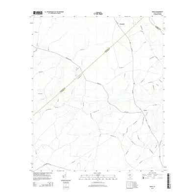
2014 Map of Grays
USGS Topo · Published 2014About this map
Grays and Horsegall anchor this lowcountry landscape in Hampton County, where the terrain is defined by a dense network of blackwater drainages and family-named landmarks. The Coosawhatchie River skirts the northeastern corner, while smaller systems like Horsegall Cr, Alligator Cr, and Elbo Cr weave through the timberlands and rural homesteads. The distribution of small water bodies like Smiths Pond and Thomas Pond suggests a local history tied to small-scale agriculture and land management.
Find a feature on this map
58 named features on this map. Tap any name to fly to it.
Don’t see what you’re looking for? This feature index may not catch every label — zoom into the map to look around manually.
Map Details
Editions of this 2014 Grays Map
This is the sole edition of this map. No revisions or reprints were ever made.
Other maps of this area
1918 · Varnville
USGS Topo · 1:62,500
1918 · Yemassee
USGS Topo · 1:62,500
1919 · Pineland
USGS Topo · 1:62,500
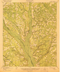
1919 · Cummings
USGS Topo · 1:62,500
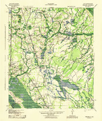
1943 · Pineland
USGS Topo · 1:62,500
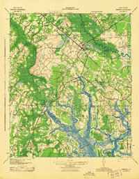
1943 · Yemassee
USGS Topo · 1:62,500
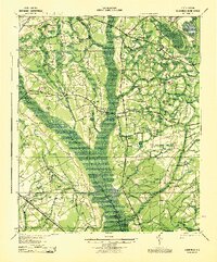
1943 · Cummings
USGS Topo · 1:62,500
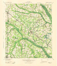
1944 · Varnville
USGS Topo · 1:62,500
1947 · Savannah
USGS Topo · 1:250,000
1948 · Savannah
USGS Topo · 1:250,000