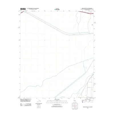
2012 Map of Grays Well NE
USGS Topo · Published 2012About this map
The All-American Canal cuts a prominent diagonal across this arid landscape, a testament to the massive engineering efforts required to divert water to the Imperial Valley. This borderlands region is defined by its relationship with the Colorado River, which meanders through the southeast corner near the international boundary. The terrain is marked by the distinctive elevation of Pilot Knob, a landform that has served as a navigational landmark for travelers in the Sonoran Desert for centuries. Further south, a grid of rural infrastructure appears, including the Fesch Canal and a network of county roads like W Co Hwy 14th and Sidewinder Rd S. The map illustrates the convergence of natural river systems and artificial irrigation channels that sustain this tri-state and international corridor.
Find a feature on this map
11 named features on this map. Tap any name to fly to it.
Don’t see what you’re looking for? This feature index may not catch every label — zoom into the map to look around manually.
Map Details
Editions of this 2012 Grays Well NE Map
This is the sole edition of this map. No revisions or reprints were ever made.
Other maps of this area

1903 · Yuma
USGS Topo · 1:125,000

1905 · Yuma
USGS Topo · 1:125,000

1940 · Yuma
USGS Topo · 1:62,500

1942 · Yuma
USGS Topo · 1:250,000

1945 · Picacho Peak
USGS Topo · 1:62,500

1945 · Yuma
USGS Topo · 1:62,500

1951 · Picacho Peak
USGS Topo · 1:62,500

1952 · Araz
USGS Topo · 1:24,000

1952 · Yuma West
USGS Topo · 1:24,000

1953 · Grays Well
USGS Topo · 1:24,000