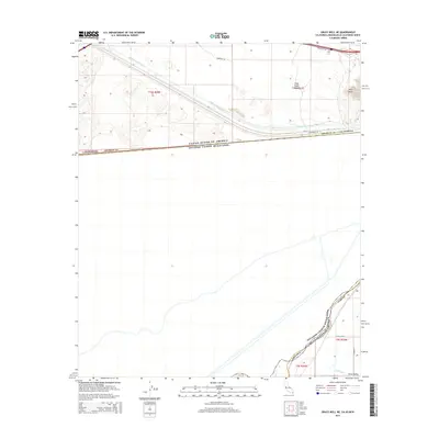
2015 Map of Grays Well NE
USGS Topo · Published 2015About this map
The All American Canal dominates the northern landscape of this border region, carving a vital water artery through the arid terrain of Imperial County. This artificial waterway runs parallel to the international boundary between the United States and Mexico, where the landmark height of Pilot Knob stands as a prominent topographical feature near the crossing of Frontage Rd. To the southeast, the landscape transitions into the agricultural reaches of the Yuma Valley, where the Pesch Canal and a grid of local roads like W Co 13th St and S Avenue H support the irrigation needs of the Arizona-Mexico borderlands. The map clearly delineates the complex intersection of state and national boundaries, illustrating the hydraulic infrastructure essential to this desert environment.
Find a feature on this map
19 named features on this map. Tap any name to fly to it.
Don’t see what you’re looking for? This feature index may not catch every label — zoom into the map to look around manually.
Map Details
Editions of this 2015 Grays Well NE Map
This is the sole edition of this map. No revisions or reprints were ever made.
Other maps of this area
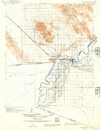
1903 · Yuma
USGS Topo · 1:125,000
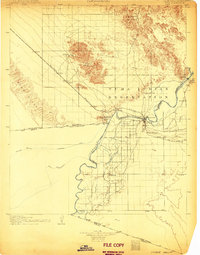
1905 · Yuma
USGS Topo · 1:125,000
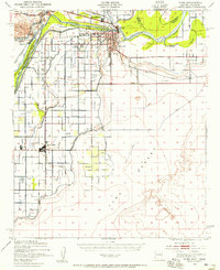
1940 · Yuma
USGS Topo · 1:62,500
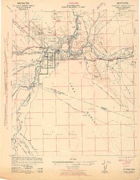
1942 · Yuma
USGS Topo · 1:250,000
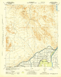
1945 · Picacho Peak
USGS Topo · 1:62,500
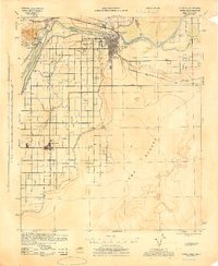
1945 · Yuma
USGS Topo · 1:62,500
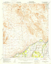
1951 · Picacho Peak
USGS Topo · 1:62,500
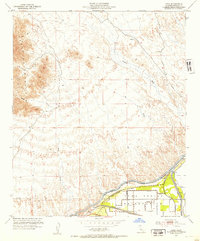
1952 · Araz
USGS Topo · 1:24,000
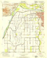
1952 · Yuma West
USGS Topo · 1:24,000
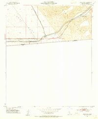
1953 · Grays Well
USGS Topo · 1:24,000