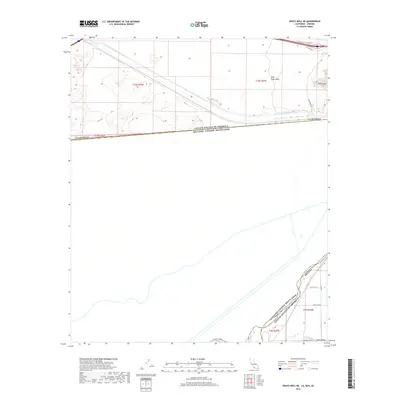
2018 Map of Grays Well NE
USGS Topo · Published 2018About this map
The All-American Canal dominates this arid borderland, cutting a massive hydraulic path across the desert floor toward the Yuma Valley. This 2018 survey documents the precise intersection of the international boundary between the United States and Mexico, where the state lines of California and Arizona meet at the southern edge of the Colorado River's influence. The landscape is punctuated by the prominent elevation of Pilot Knob and the surrounding Pilot Knob Mesa, which serve as stark topographical markers in an otherwise engineered environment. Near the southern edge of the quadrangle, the Pesch Canal provides further evidence of the intensive irrigation network supporting regional agriculture. Roads like Center of the World Dr and Sidewinder Rd N provide access through the open terrain, linking remote desert reaches to the structured agricultural grids found near the border.
Find a feature on this map
21 named features on this map. Tap any name to fly to it.
Don’t see what you’re looking for? This feature index may not catch every label — zoom into the map to look around manually.
Map Details
Editions of this 2018 Grays Well NE Map
This is the sole edition of this map. No revisions or reprints were ever made.
Other maps of this area
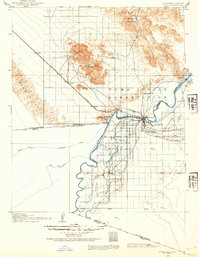
1903 · Yuma
USGS Topo · 1:125,000
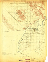
1905 · Yuma
USGS Topo · 1:125,000
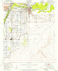
1940 · Yuma
USGS Topo · 1:62,500
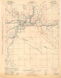
1942 · Yuma
USGS Topo · 1:250,000
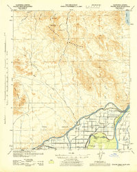
1945 · Picacho Peak
USGS Topo · 1:62,500
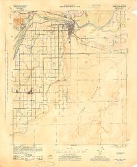
1945 · Yuma
USGS Topo · 1:62,500
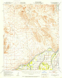
1951 · Picacho Peak
USGS Topo · 1:62,500
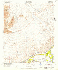
1952 · Araz
USGS Topo · 1:24,000
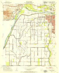
1952 · Yuma West
USGS Topo · 1:24,000
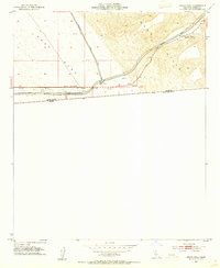
1953 · Grays Well
USGS Topo · 1:24,000