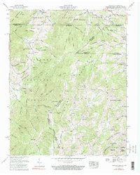
2003 Map of Grayson
USGS Topo · Published 2004About this map
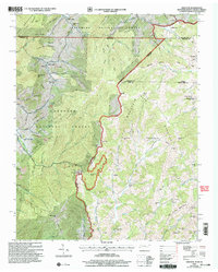
Iron Mountain and the high ridges of the Jefferson National Forest dominate this borderland where Tennessee, Virginia, and North Carolina converge. The 2003 revision reveals a landscape defined by sharp elevation changes and deeply cut hollows like Negro Hollow and Cabin Hollow. Small communities and family nodes are scattered throughout the valleys, from the northern settlement of Taylors Valley to Grayson and Whitetop in the east.
Find a feature on this map
79 named features on this map. Tap any name to fly to it.
Don’t see what you’re looking for? This feature index may not catch every label — zoom into the map to look around manually.
Map Details
Editions of this 2003 Grayson Map
This is the sole edition of this map. No revisions or reprints were ever made.
Historical Maps of Grayson Through Time
15 maps found

1935 Beaver Creek
Washington County, TN

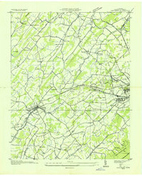
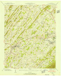
1935 Grayson
Washington County, TN
1935 Jonesboro
Washington County, TN

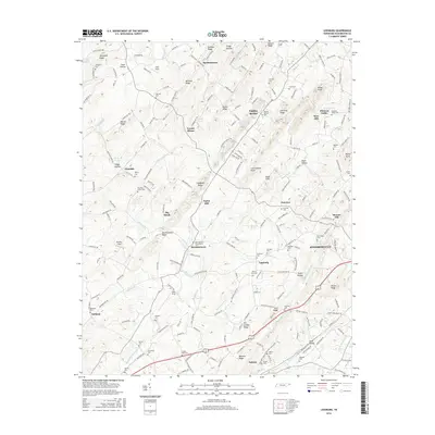
1935 Leesburg
Washington County, TN
1935 River Knobs
Washington County, TN
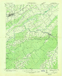
1938 Grayson
Washington County, TN
1939 Jonesboro
Washington County, TN
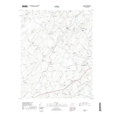
1939 Leesburg
Washington County, TN
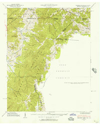
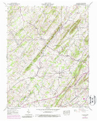
1959 Grayson
Washington County, TN
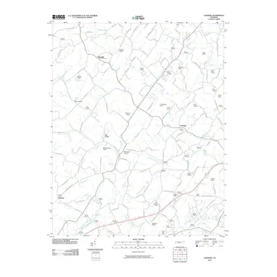
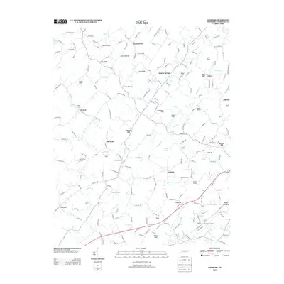
2003 Grayson
Washington County, TN
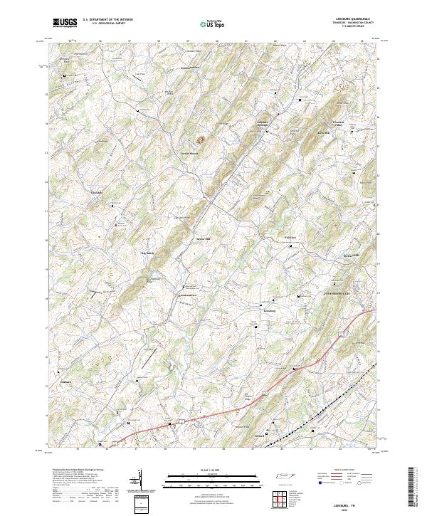
2010 Leesburg
Washington County, TN
2013 Leesburg
Washington County, TN
2016 Leesburg
Washington County, TN
2019 Leesburg
Washington County, TN
2022 Leesburg
Washington County, TN