
1935 Map of Konnarock
USGS Topo · Published 1935About this map
The South Fork Holston River winds through the northern portion of this 1935 terrain, where the Unaka National Forest dominates the high ridges and steep hollows. The landscape is defined by the massive presence of Iron Mountain and Unaka Mountain, creating a natural barrier that influenced the isolated settlement patterns of the era. Small rural communities like Konnarock, Laurel, and Friendship are connected by narrow trails and roads, with social life centered around local landmarks such as Loves Mill and numerous country churches including Macedonia Ch and Pleasant Home Ch.
Find a feature on this map
80 named features on this map. Tap any name to fly to it.
Don’t see what you’re looking for? This feature index may not catch every label — zoom into the map to look around manually.
Map Details
Editions of this 1935 Konnarock Map
This is the sole edition of this map. No revisions or reprints were ever made.
Other maps of this area

1891 · Abingdon
USGS Topo · 1:125,000

1894 · Abingdon
USGS Topo · 1:125,000

1909 · Abingdon
USGS Topo · 1:96,000

1911 · Abingdon
USGS Topo · 1:125,000

1935 · Chilhowie
USGS Topo · 1:24,000

1935 · Grayson
USGS Topo · 1:24,000

1935 · Park
USGS Topo · 1:24,000

1935 · Mount Rogers
USGS Topo · 1:48,000
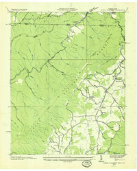
1935 · Laurel Bloomery
USGS Topo · 1:24,000
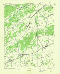
1935 · Glade Spring
USGS Topo · 1:24,000