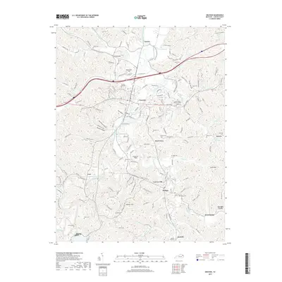
2019 Map of Grayson
USGS Topo · Published 2019About this map
Grayson serves as the central hub of this Carter County landscape, situated where the Little Sandy River meets the interstate corridor. The 2019 survey documents a terrain deeply etched by winding valleys and hollows, such as Schoolhouse Hollow, Bourbon Hollow, and Hurricane Hollow. These narrow passages define the settlement patterns of the region, concentrating development along the river and its numerous tributaries.
Find a feature on this map
90 named features on this map. Tap any name to fly to it.
Don’t see what you’re looking for? This feature index may not catch every label — zoom into the map to look around manually.
Map Details
Editions of this 2019 Grayson Map
This is the sole edition of this map. No revisions or reprints were ever made.
Other maps of this area

1903 · Kenova
USGS Topo · 1:125,000

1904 · Kenova
USGS Topo · 1:125,000

1950 · Bruin
USGS Topo · 1:24,000

1950 · Grahn
USGS Topo · 1:24,000

1950 · Tygarts Valley
USGS Topo · 1:24,000

1953 · Grayson
USGS Topo · 1:24,000

1953 · Oldtown
USGS Topo · 1:24,000

1953 · Rush
USGS Topo · 1:24,000
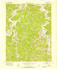
1953 · Argillite
USGS Topo · 1:24,000
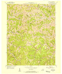
1953 · Webbville
USGS Topo · 1:24,000