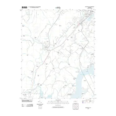
2010 Map of Graysville
USGS Topo · Published 2010About this map
Chickamauga Lake dominates the eastern half of this Rhea County landscape, shaping the residential and recreational development of Lakewood and the nearby Harbor Lights Boat Dock. To the west, the terrain rises into ridges and hollows, such as Blackoak Ridge and Wildcat Hollow, where small settlements and rural homesteads are scattered. The town of Graysville sits at the foot of these uplands, serving as a historic nexus between the rugged interior and the Tennessee River valley.
Find a feature on this map
105 named features on this map. Tap any name to fly to it.
Don’t see what you’re looking for? This feature index may not catch every label — zoom into the map to look around manually.
Map Details
Editions of this 2010 Graysville Map
This is the sole edition of this map. No revisions or reprints were ever made.
Other maps of this area

1886 · Cleveland
USGS Topo · 1:125,000

1887 · Kingston
USGS Topo · 1:125,000

1888 · Chattanooga
USGS Topo · 1:125,000

1891 · Kingston
USGS Topo · 1:125,000

1892 · Pikeville
USGS Topo · 1:125,000

1892 · Cleveland
USGS Topo · 1:125,000

1893 · Chattanooga
USGS Topo · 1:125,000

1893 · Kingston
USGS Topo · 1:125,000

1895 · Cleveland
USGS Topo · 1:125,000

1895 · Pikeville
USGS Topo · 1:125,000