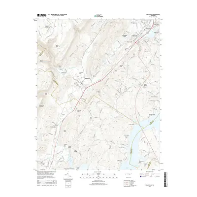
2016 Map of Graysville
USGS Topo · Published 2016About this map
Walden Ridge and the Cumberland Escarpment dominate the western horizon of this Rhea County landscape, dropping sharply into the valley where Graysville and Coulterville are situated. The topography is defined by alternating ridges and hollows, such as Blackoak Ridge and Wildcat Hollow, which channeled early development along the base of the mountains. Water plays a central role in the local geography, with Sale Creek winding southward toward the broader waters of Dallas Lake and Shahan Slough near the Hamilton County line.
Find a feature on this map
174 named features on this map. Tap any name to fly to it.
Don’t see what you’re looking for? This feature index may not catch every label — zoom into the map to look around manually.
Map Details
Editions of this 2016 Graysville Map
This is the sole edition of this map. No revisions or reprints were ever made.
Other maps of this area

1886 · Cleveland
USGS Topo · 1:125,000

1887 · Kingston
USGS Topo · 1:125,000

1888 · Chattanooga
USGS Topo · 1:125,000

1891 · Kingston
USGS Topo · 1:125,000

1892 · Pikeville
USGS Topo · 1:125,000

1892 · Cleveland
USGS Topo · 1:125,000

1893 · Chattanooga
USGS Topo · 1:125,000

1893 · Kingston
USGS Topo · 1:125,000

1895 · Cleveland
USGS Topo · 1:125,000

1895 · Pikeville
USGS Topo · 1:125,000