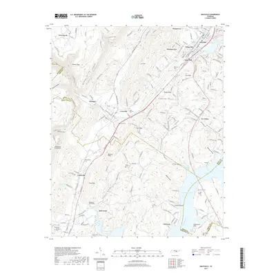
2019 Map of Graysville
USGS Topo · Published 2019About this map
Dayton and its neighboring hill communities are situated between the dramatic Cumberland Escarpment and the broad waters of Chickamauga Lake. The geography of the late 2010s reveals a landscape defined by the transition from Walden Ridge down into the Tennessee River valley. Long-standing settlements like Graysville and Sale Creek are connected by the historical corridor of Dayton Pike, which runs parallel to the winding course of Sale Creek. The map is particularly dense with small family and community burial sites, including Miller-Nelson Cem and the Old Browder Cem, providing a detailed record of local genealogy. Notable landmarks like the Daugherty Ferry Bridge and the numerous hollows such as Shipley Hollow and Doss Hollow illustrate how the terrain has shaped human movement and habitation in this part of Rhea County.
Find a feature on this map
78 named features on this map. Tap any name to fly to it.
Don’t see what you’re looking for? This feature index may not catch every label — zoom into the map to look around manually.
Map Details
Editions of this 2019 Graysville Map
This is the sole edition of this map. No revisions or reprints were ever made.
Other maps of this area

1886 · Cleveland
USGS Topo · 1:125,000

1887 · Kingston
USGS Topo · 1:125,000

1888 · Chattanooga
USGS Topo · 1:125,000

1891 · Kingston
USGS Topo · 1:125,000

1892 · Pikeville
USGS Topo · 1:125,000

1892 · Cleveland
USGS Topo · 1:125,000

1893 · Chattanooga
USGS Topo · 1:125,000

1893 · Kingston
USGS Topo · 1:125,000

1895 · Cleveland
USGS Topo · 1:125,000

1895 · Pikeville
USGS Topo · 1:125,000