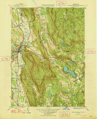
1948 Map of Great Barrington
USGS Topo · Published 1948About this map
Great Barrington serves as the focal point of this Berkshire County landscape, where the Housatonic River snakes through a valley defined by the dramatic rises of Monument Mountain and East Mountain. The late 1940s settlement pattern is clearly visible, with distinct clusters at Van Duesenville and Risingdale linked by the New York New Haven and Hartford railroad line. Local education and community life are marked by rural outposts like the Altaraz School and Corashire Sch, while the presence of a Fish Hatchery near Hartsville and a Lime Kiln suggest the area's varied mid-century land use.
Find a feature on this map
82 named features on this map. Tap any name to fly to it.
Don’t see what you’re looking for? This feature index may not catch every label — zoom into the map to look around manually.
Map Details
Editions of this 1948 Great Barrington Map
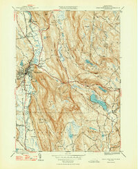
2 editions found
Other maps of this area

1885 · Sheffield
USGS Topo · 1:62,500

1886 · Becket
USGS Topo · 1:62,500

1888 · Sheffield
USGS Topo · 1:62,500

1888 · Becket
USGS Topo · 1:62,500

1888 · Sandisfield
USGS Topo · 1:62,500

1888 · Pittsfield
USGS Topo · 1:62,500

1890 · Pittsfield
USGS Topo · 1:62,500

1891 · Sheffield
USGS Topo · 1:62,500

1893 · Becket
USGS Topo · 1:62,500

1893 · Sheffield
USGS Topo · 1:62,500