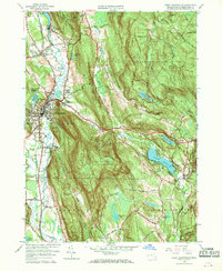
1958 Map of Great Barrington
USGS Topo · Published 1970About this map
Great Barrington serves as the focal point for this 1958 survey, where the Housatonic River winds through a landscape of dense state forests and deep New England valleys. The map illustrates a transitional era for the region, balancing its industrial roots seen at the Limekiln and gravel pits with growing recreational and institutional footprints. Religious and educational landmarks like the Dehon Seminary and Christian Hill Sch are prominent, while the New York New Haven and Hartford railroad tracks follow the river's edge, connecting established settlements such as Risingdale and Van Deusenville. Extensive protected lands including Beartown State Forest and the Monument Mountain Reservation dominate the eastern and northern heights, with the Appalachian Trail traversing the ridgelines above Lake Buel.
Find a feature on this map
60 named features on this map. Tap any name to fly to it.
Don’t see what you’re looking for? This feature index may not catch every label — zoom into the map to look around manually.
Map Details
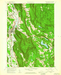
Editions of this 1958 Great Barrington Map
2 editions found
Other maps of this area

1885 · Sheffield
USGS Topo · 1:62,500

1886 · Becket
USGS Topo · 1:62,500

1888 · Sheffield
USGS Topo · 1:62,500

1888 · Becket
USGS Topo · 1:62,500

1888 · Sandisfield
USGS Topo · 1:62,500

1888 · Pittsfield
USGS Topo · 1:62,500

1890 · Pittsfield
USGS Topo · 1:62,500

1891 · Sheffield
USGS Topo · 1:62,500

1893 · Becket
USGS Topo · 1:62,500

1893 · Sheffield
USGS Topo · 1:62,500