
1955 Map of Great Bend
USGS Topo · Published 1966About this map
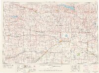
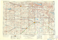
The Arkansas River forms its distinctive northward arc through central Kansas, anchoring a landscape defined by expansive river valleys and the mid-century expansion of water management. Compiled in the 1950s and updated through 1965, this survey captures the region as major impoundments like Wilson Reservoir, Kanopolis Reservoir, and Cedar Bluff Reservoir reshaped the hydrology of the Saline River, Smoky Hill River, and Walnut Creek. Significant rail infrastructure, including the Union Pacific RR and the Missouri Pacific RR, connects established agricultural centers such as Great Bend, Hays, and Larned. To the southeast, the Quivira National Wildlife Refuge preserves critical wetlands, including Salt Marsh and Little Salt Marsh, while the upland topography is punctuated by landmarks like Round Mound and Blue Hill. The map meticulously details the transit networks of the era, from early state highways to burgeoning communication infrastructure like a Television Station and Microwave Relay Station.
Find a feature on this map
168 named features on this map. Tap any name to fly to it.
Don’t see what you’re looking for? This feature index may not catch every label — zoom into the map to look around manually.
Map Details
Editions of this 1955 Great Bend Map
3 editions found
Other maps of this area

1889 · Cheney
USGS Topo · 1:125,000

1889 · Larned
USGS Topo · 1:125,000

1889 · Kinsley
USGS Topo · 1:125,000

1891 · Great Bend
USGS Topo · 1:125,000

1891 · Larned
USGS Topo · 1:125,000

1891 · Hutchinson
USGS Topo · 1:125,000

1891 · Cheney
USGS Topo · 1:125,000

1892 · Ness
USGS Topo · 1:125,000

1892 · Kinsley
USGS Topo · 1:125,000

1892 · Salina
USGS Topo · 1:125,000