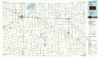
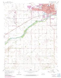
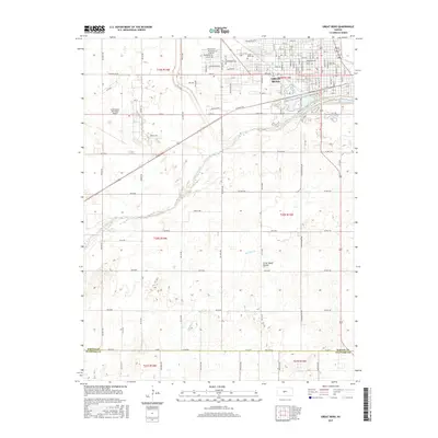
1985 Map of Great Bend
USGS Topo · Published 1985About this map
The Arkansas River corridor in central Kansas defines this mid-1980s landscape, serving as a lifeline for major agricultural and industrial hubs like Great Bend and Lyons. The map highlights a complex relationship between the region's natural hydrology and its intensive land use, most notably through the sprawling Cheyenne Bottoms State Wildlife Area and the Quivira National Wildlife Refuge, which contains the Little Salt Marsh and Big Salt Marsh. These wetlands provide critical contrast to the surrounding grid of section lines and the numerous Oil Fields that dot the plains.
Find a feature on this map
53 named features on this map. Tap any name to fly to it.
Don’t see what you’re looking for? This feature index may not catch every label — zoom into the map to look around manually.
Map Details
Editions of this 1985 Great Bend Map
2 editions found
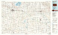
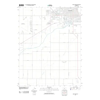
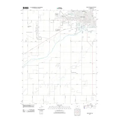
Historical Maps of Great Bend Through Time
12 maps found

1891 Great Bend
Barton County, KS
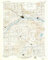
1893 Great Bend
Barton County, KS
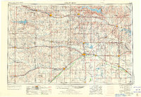
1955 Great Bend
Barton County, KS

1957 Great Bend
Barton County, KS
1958 Great Bend
Barton County, KS
1958 Great Bend
Barton County, KS
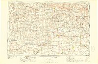
1985 Great Bend
Barton County, KS
2009 Great Bend
Barton County, KS
2012 Great Bend
Barton County, KS
2015 Great Bend
Barton County, KS
2018 Great Bend
Barton County, KS
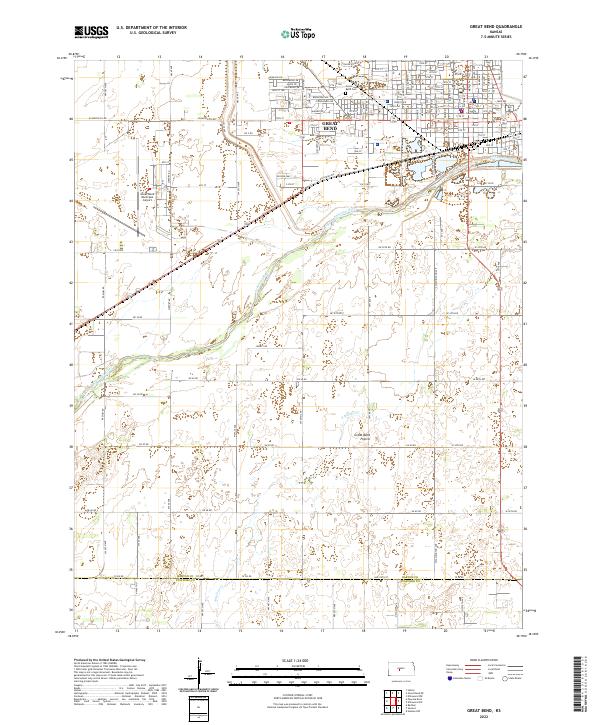
2022 Great Bend
Barton County, KS