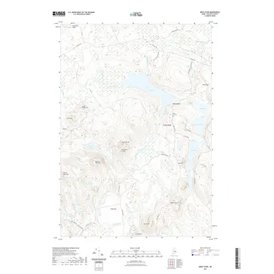
2021 Map of Great Pond
USGS Topo · Published 2021About this map
Great Pond and the surrounding wilderness of Hancock County define this landscape, where water and high ground dictate the layout of timber roads and small settlements. The community of Dow Pines sits on the eastern shore of the pond, near the historic Great Pond Cem, while the West Branch Union River carves a path through the western half of the quadrangle. Significant topographical features like Black Cap Mtn and Morrison Pond Mtn dominate the center, surrounded by numerous smaller bodies of water such as Little Dutton Pond and the Morrison Ponds.
Find a feature on this map
51 named features on this map. Tap any name to fly to it.
Don’t see what you’re looking for? This feature index may not catch every label — zoom into the map to look around manually.
Map Details
Editions of this 2021 Great Pond Map
This is the sole edition of this map. No revisions or reprints were ever made.
Other maps of this area

1929 · Great Pond
USGS Topo · 1:48,000

1929 · Lead Mountain
USGS Topo · 1:48,000

1931 · Saponac
USGS Topo · 1:48,000

1932 · Nicatous Lake
USGS Topo · 1:48,000

1932 · Lead Mountain
USGS Topo · 1:62,500

1932 · Great Pond
USGS Topo · 1:62,500

1934 · Saponac
USGS Topo · 1:62,500

1934 · Nicatous Lake
USGS Topo · 1:62,500

1948 · Bangor
USGS Topo · 1:250,000

1954 · Millinocket
USGS Topo · 1:250,000