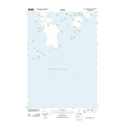
2011 Map of Great Wass Island
USGS Topo · Published 2011About this map
Great Wass Island and its surrounding archipelago dominate this coastal survey of the outer reaches of Washington County. The landscape is defined by a jagged coastline of points and ledges, including Alley Point and Norton Point, which look out over the Western Bay. Human activity is concentrated along the limited road network of Great Wass Island Rd and Carver Industry Rd, leading toward inland features like Mannings Farm.
Find a feature on this map
48 named features on this map. Tap any name to fly to it.
Don’t see what you’re looking for? This feature index may not catch every label — zoom into the map to look around manually.
Map Details
Editions of this 2011 Great Wass Island Map
This is the sole edition of this map. No revisions or reprints were ever made.
Other maps of this area

1918 · Machias
USGS Topo · 1:62,500

1921 · Great Wass Island
USGS Topo · 1:62,500

1921 · Columbia Falls
USGS Topo · 1:62,500

1941 · Columbia Falls
USGS Topo · 1:62,500

1941 · Machias
USGS Topo · 1:62,500

1942 · Columbia Falls
USGS Topo · 1:62,500

1948 · Jonesport
USGS Topo · 1:24,000

1948 · Roque Bluffs
USGS Topo · 1:24,000

1948 · Drisko Island
USGS Topo · 1:24,000
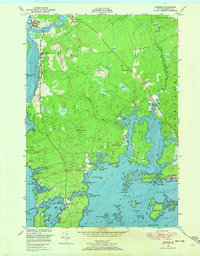
1948 · Addison
USGS Topo · 1:24,000