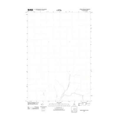
2012 Map of Greeley Brook
USGS Topo · Published 2012About this map
Middle Br Indian Stream flows through this corner of New Hampshire's North Country, illustrating the remote and water-defined landscape of Coos County in 2012. The area is characterized by its drainage network, where Dube Brook and Greeley Brook converge near the southern margin. This survey captures a moment when the region remained largely undeveloped, dominated by the primary arteries of Indian Stream Rd and E Branch Rd which provide the only significant terrestrial access to the interior. The topographic detail focuses on the hydrology of the Indian Stream watershed, a critical geographic feature for understanding the local timber and hunting history of Pittsburg.
Find a feature on this map
5 named features on this map. Tap any name to fly to it.
Don’t see what you’re looking for? This feature index may not catch every label — zoom into the map to look around manually.
Map Details
Editions of this 2012 Greeley Brook Map
This is the sole edition of this map. No revisions or reprints were ever made.
Other maps of this area
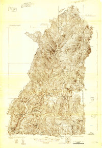
1925 · Indian Stream
USGS Topo · 1:48,000
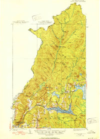
1926 · Indian Stream
USGS Topo · 1:62,500
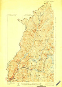
1927 · Indian Stream
USGS Topo · 1:62,500
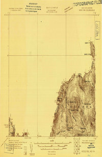
1927 · Moose Bog
USGS Topo · 1:48,000
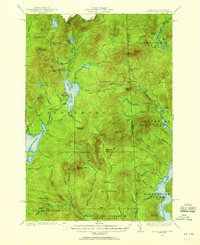
1927 · Second Lake
USGS Topo · 1:62,500
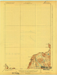
1931 · Moose Bog
USGS Topo · 1:62,500
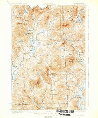
1932 · Second Lake
USGS Topo · 1:62,500
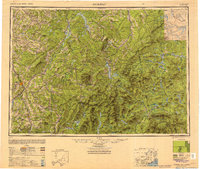
1949 · Jackman
USGS Topo · 1:250,000
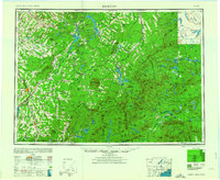
1963 · Jackman
USGS Topo · 1:250,000
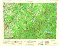
1966 · Sherbrooke
USGS Topo · 1:250,000