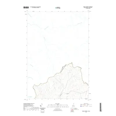
2021 Map of Greeley Brook
USGS Topo · Published 2021About this map
The international boundary between Canada and the United States cuts through the steep, wooded topography of Coos County in this modern survey. The southern portion of the map is defined by the headwaters of the Indian Stream system, including Middle Br Indian Stream and its tributaries like Greeley Brook. To the north and west, the landscape drains into Quebec through a network of French-named waterways, such as Rivière Eaton Nord, Rivière du Sud, and Ruisseau Lyon. This area represents a remote portion of the North Country where land management and the border dictate the few maintained tracks, specifically Indian Stream Rd and E Branch Rd. The presence of Lac à Gérard-Labranche near the western edge reflects the cross-border geographical character of this high-elevation watershed.
Find a feature on this map
14 named features on this map. Tap any name to fly to it.
Don’t see what you’re looking for? This feature index may not catch every label — zoom into the map to look around manually.
Map Details
Editions of this 2021 Greeley Brook Map
This is the sole edition of this map. No revisions or reprints were ever made.
Other maps of this area

1925 · Indian Stream
USGS Topo · 1:48,000

1926 · Indian Stream
USGS Topo · 1:62,500

1927 · Indian Stream
USGS Topo · 1:62,500

1927 · Moose Bog
USGS Topo · 1:48,000

1927 · Second Lake
USGS Topo · 1:62,500

1931 · Moose Bog
USGS Topo · 1:62,500

1932 · Second Lake
USGS Topo · 1:62,500

1949 · Jackman
USGS Topo · 1:250,000

1963 · Jackman
USGS Topo · 1:250,000

1966 · Sherbrooke
USGS Topo · 1:250,000