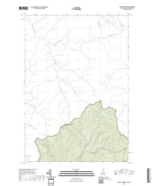
2024 Map of Greeley Brook
USGS Topo · Published 2024About this map
The international boundary between Canada and the United States bisects this northern landscape, where the headwaters of the Connecticut River watershed meet the drainages of Quebec. Within the mountainous terrain of Coos County, a network of logging roads and hunting paths provides access to the deep woods, including the Indian Stream Road Trl and the suggestively named Last Deer Camp Trl.
Find a feature on this map
17 named features on this map. Tap any name to fly to it.
Don’t see what you’re looking for? This feature index may not catch every label — zoom into the map to look around manually.
Map Details
Editions of this 2024 Greeley Brook Map
This is the sole edition of this map. No revisions or reprints were ever made.
Other maps of this area

1925 · Indian Stream
USGS Topo · 1:48,000

1926 · Indian Stream
USGS Topo · 1:62,500

1927 · Indian Stream
USGS Topo · 1:62,500

1927 · Moose Bog
USGS Topo · 1:48,000

1927 · Second Lake
USGS Topo · 1:62,500

1931 · Moose Bog
USGS Topo · 1:62,500

1932 · Second Lake
USGS Topo · 1:62,500

1949 · Jackman
USGS Topo · 1:250,000

1963 · Jackman
USGS Topo · 1:250,000

1966 · Sherbrooke
USGS Topo · 1:250,000