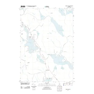
2011 Map of Green Lake
USGS Topo · Published 2011About this map
Lucerne-in-Maine sits at the heart of this glacial landscape, characterized by a dense network of ponds and granite heights. This early 21st-century survey documents the established recreational and residential patterns around Phillips Lake and the western shores of Green Lake. The topography is dominated by dramatic rises like Bald Mountain and Eagle Bluff, which frame the many water bodies that define the region's geography.
Find a feature on this map
75 named features on this map. Tap any name to fly to it.
Don’t see what you’re looking for? This feature index may not catch every label — zoom into the map to look around manually.
Map Details
Editions of this 2011 Green Lake Map
This is the sole edition of this map. No revisions or reprints were ever made.
Other maps of this area

1900 · Orland
USGS Topo · 1:62,500

1902 · Orono
USGS Topo · 1:62,500

1911 · Ellsworth
USGS Topo · 1:62,500

1929 · Great Pond
USGS Topo · 1:48,000

1932 · Great Pond
USGS Topo · 1:62,500

1940 · Ellsworth
USGS Topo · 1:62,500

1942 · Orland
USGS Topo · 1:62,500

1942 · Ellsworth
USGS Topo · 1:62,500

1944 · Orono
USGS Topo · 1:62,500

1946 · Orono
USGS Topo · 1:62,500