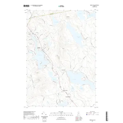
2021 Map of Green Lake
USGS Topo · Published 2021About this map
Green Lake and Phillips Lake dominate this glaciated landscape in Hancock County, where high ridges like Eagle Bluff and Bald Mtn rise sharply from the water's edge. The settlement of Lucerne-in-Maine sits nestled between the hills and the northern shore of Phillips Lake, served by a network of seasonal and residential roads such as Lakeview Ave and Hemlock Rd. Further south, the community at Wilson Corner provides a focal point for local history, containing the Wilson Cem near the intersection of Main Rd and Bangor Rd.
Find a feature on this map
88 named features on this map. Tap any name to fly to it.
Don’t see what you’re looking for? This feature index may not catch every label — zoom into the map to look around manually.
Map Details
Editions of this 2021 Green Lake Map
This is the sole edition of this map. No revisions or reprints were ever made.
Other maps of this area

1900 · Orland
USGS Topo · 1:62,500

1902 · Orono
USGS Topo · 1:62,500

1911 · Ellsworth
USGS Topo · 1:62,500

1929 · Great Pond
USGS Topo · 1:48,000

1932 · Great Pond
USGS Topo · 1:62,500

1940 · Ellsworth
USGS Topo · 1:62,500

1942 · Orland
USGS Topo · 1:62,500

1942 · Ellsworth
USGS Topo · 1:62,500

1944 · Orono
USGS Topo · 1:62,500

1946 · Orono
USGS Topo · 1:62,500