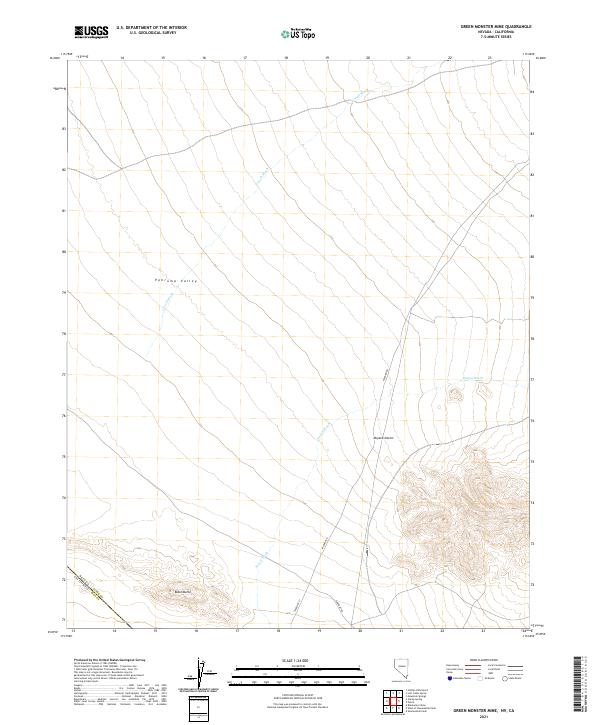
2021 Map of Green Monster Mine
USGS Topo · Published 2021About this map
Pahrump Valley and the northern reaches of the Mojave Desert define this arid landscape along the Nevada and California border. The terrain is characterized by a network of ephemeral drainage systems, including the southward-reaching Lovell Wash and the prominent Potosi Wash, which meander through the broad alluvial basins. These washes provide a structural logic to the desert floor, indicating the seasonal flow of water from higher elevations toward the valley floor.
Find a feature on this map
20 named features on this map. Tap any name to fly to it.
Don’t see what you’re looking for? This feature index may not catch every label — zoom into the map to look around manually.
Map Details
Editions of this 2021 Green Monster Mine Map
This is the sole edition of this map. No revisions or reprints were ever made.
Other maps of this area

1907 · Las Vegas
USGS Topo · 1:250,000

1908 · Las Vegas
USGS Topo · 1:250,000

1910 · Ivanpah
USGS Topo · 1:250,000

1912 · Ivanpah
USGS Topo · 1:250,000

1942 · Ivanpah
USGS Topo · 1:250,000

1947 · Kingman
USGS Topo · 1:250,000

1948 · Kingman
USGS Topo · 1:250,000

1954 · Las Vegas
USGS Topo · 1:250,000

1954 · Kingman
USGS Topo · 1:250,000

1955 · Kingman
USGS Topo · 1:250,000