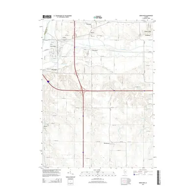
2015 Map of Green Rock
USGS Topo · Published 2015About this map
Colona and Green Rock serve as the primary residential hubs in this portion of Henry County, situated where the Green River flows toward its confluence with the Rock River to the north. The landscape is defined by the contrast between the densely plotted streets of these towns and the surrounding agricultural expanse of the southern quadrangle. Small, historic burial grounds like Colona Cem, Dayton Cem, and Morristown Cem are scattered across the terrain, marking early settlement patterns in unincorporated areas near Cleveland and Dayton. The drainage network is complex, featuring Mineral Cr, Mud Cr, and Turner Cr, which weave through the prairie land. To the east, modern developments like Hickory Hills and Woodcrest appear, while the southern reaches remain predominantly rural near the crossing of Osco Rd and the small hamlet of Morristown.
Find a feature on this map
47 named features on this map. Tap any name to fly to it.
Don’t see what you’re looking for? This feature index may not catch every label — zoom into the map to look around manually.
Map Details
Editions of this 2015 Green Rock Map
This is the sole edition of this map. No revisions or reprints were ever made.
Other maps of this area

1892 · Leclaire
USGS Topo · 1:62,500

1893 · Leclaire
USGS Topo · 1:62,500

1899 · Clinton
USGS Topo · 1:125,000

1934 · Geneseo
USGS Topo · 1:62,500

1937 · Orion
USGS Topo · 1:62,500

1949 · Coal Valley
USGS Topo · 1:24,000

1949 · Silvis
USGS Topo · 1:24,000

1949 · Port Byron
USGS Topo · 1:24,000

1950 · Port Byron
USGS Topo · 1:24,000

1952 · Erie
USGS Topo · 1:62,500