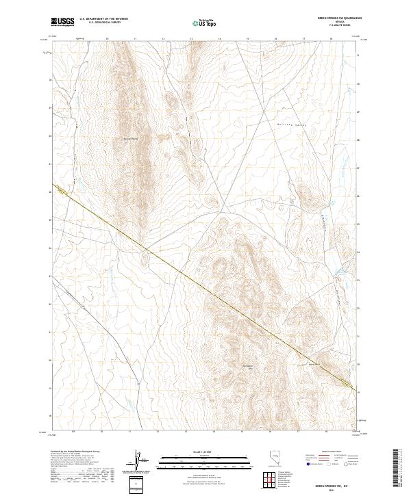
2021 Map of Green Springs SW
USGS Topo · Published 2021About this map
The high desert landscape of central Nevada is defined here by the convergence of the Pancake Range and the northern reaches of Railroad Valley. This 2021 survey documents a remote corridor where the boundary between White Pine and Nye counties bisects the terrain. Water sources are the primary indicators of historical and contemporary land use, centered on the vital Big Bull Spring and the nearby Bull Cr Reservoir.
Find a feature on this map
13 named features on this map. Tap any name to fly to it.
Don’t see what you’re looking for? This feature index may not catch every label — zoom into the map to look around manually.
Map Details
Editions of this 2021 Green Springs SW Map
This is the sole edition of this map. No revisions or reprints were ever made.
Other maps of this area

1951 · Green Springs
USGS Topo · 1:62,500

1956 · Lund
USGS Topo · 1:250,000

1956 · Ely
USGS Topo · 1:250,000

1959 · Ely
USGS Topo · 1:250,000

1960 · Lund
USGS Topo · 1:250,000

1963 · Ely
USGS Topo · 1:250,000

1964 · Duckwater
USGS Topo · 1:62,500

1964 · Moody Peak
USGS Topo · 1:62,500

1968 · Brown Summit
USGS Topo · 1:24,000

1979 · Mt. Hamilton
USGS Topo · 1:100,000