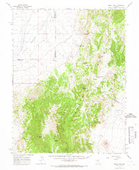
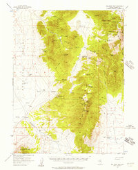
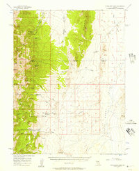
1964 Map of Moody Peak
USGS Topo · Published 1966About this map
Pogues Station and nearby ruins sit at the desert edge where the Little Smoky Valley meets the rising slopes of the Pancake Range. This mid-1960s survey captures a landscape defined by isolated water sources and high-altitude summits, such as Duckwater Peak and Moody Peak. The distribution of springs, including Soda Spring, Nevada Governors Spring, and Mahogany Spring, illustrates the critical importance of water for survival and travel in this arid Great Basin environment.
Find a feature on this map
22 named features on this map. Tap any name to fly to it.
Don’t see what you’re looking for? This feature index may not catch every label — zoom into the map to look around manually.
Map Details
Editions of this 1964 Moody Peak Map
This is the sole edition of this map. No revisions or reprints were ever made.
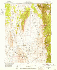
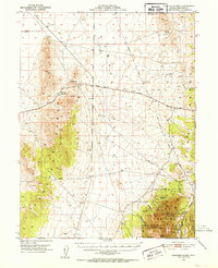
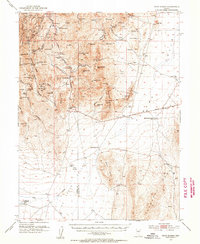
Other maps of this area

1926 · Roberts Mountains
USGS Topo · 1:250,000

1929 · Roberts Mountains
USGS Topo · 1:250,000
1951 · Green Springs
USGS Topo · 1:62,500
1951 · Pancake Summit
USGS Topo · 1:62,500
1953 · Pinto Summit
USGS Topo · 1:62,500

1955 · Millett
USGS Topo · 1:250,000
1956 · Bellevue Peak
USGS Topo · 1:62,500
1956 · Cockalorum Wash
USGS Topo · 1:62,500

1956 · Lund
USGS Topo · 1:250,000

1956 · Ely
USGS Topo · 1:250,000