
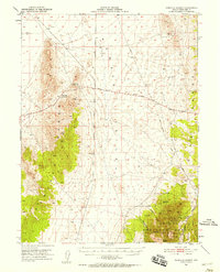
1951 Map of Pancake Summit
USGS Topo · Published 1952About this map
The Lincoln Highway traverses this high-desert corridor between the Pancake Range and the White Pine Range during the early 1950s. This survey captures a landscape defined by historical transit and mining, notably featuring the Hamilton-Elko Stage Line and a former Stage Station (Site). These markers, along with Probable Route notations, indicate the importance of these passes for overland travel before more modern alignments took hold.
Find a feature on this map
31 named features on this map. Tap any name to fly to it.
Don’t see what you’re looking for? This feature index may not catch every label — zoom into the map to look around manually.
Map Details
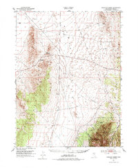
Editions of this 1951 Pancake Summit Map
3 editions found
Other maps of this area

1949 · Treasure Hill
USGS Topo · 1:62,500

1950 · Treasure Hill
USGS Topo · 1:62,500

1951 · Green Springs
USGS Topo · 1:62,500

1951 · Illipah
USGS Topo · 1:62,500

1953 · Pinto Summit
USGS Topo · 1:62,500

1953 · Eureka
USGS Topo · 1:62,500

1956 · Ely
USGS Topo · 1:250,000

1957 · Buck Mountain
USGS Topo · 1:62,500

1959 · Ely
USGS Topo · 1:250,000

1963 · Ely
USGS Topo · 1:250,000