
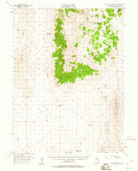
1957 Map of Buck Mountain
USGS Topo · Published 1958About this map
Buck Mountain dominates the central topography of this White Pine County landscape, serving as a high-altitude spine between the Newark Valley (Alkali Flat) to the west and Long Valley to the east. Historically significant for transportation, the Elko-Hamilton Stage Route cuts through the western basin, passing by Buck Station near Deadman Creek. The reliance on water in this arid environment is evident from the concentration of named springs like Moore Springs, Cottonwood Spring, and Willow Spring tucked into the canyons. At the southern end of the sheet, features such as Goicoechea Well and Dry Mtn Well mark the early infrastructure of the cattle and ranching era, while the rugged crossings at Beck Pass and Buck Pass indicate the primary routes used to navigate between the high desert basins.
Find a feature on this map
25 named features on this map. Tap any name to fly to it.
Don’t see what you’re looking for? This feature index may not catch every label — zoom into the map to look around manually.
Map Details
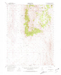
Editions of this 1957 Buck Mountain Map
3 editions found
Other maps of this area

1951 · Illipah
USGS Topo · 1:62,500

1951 · Pancake Summit
USGS Topo · 1:62,500

1953 · Pinto Summit
USGS Topo · 1:62,500

1953 · Eureka
USGS Topo · 1:62,500

1956 · Ely
USGS Topo · 1:250,000

1957 · Diamond Springs
USGS Topo · 1:62,500

1957 · Cold Creek Ranch
USGS Topo · 1:62,500

1959 · Ely
USGS Topo · 1:250,000

1963 · Ely
USGS Topo · 1:250,000

1979 · Mt. Hamilton
USGS Topo · 1:100,000