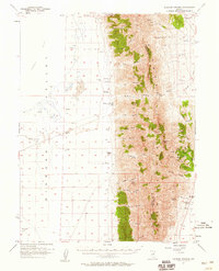
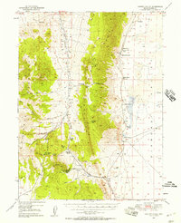
1957 Map of Diamond Springs
USGS Topo · Published 1959About this map
The Diamond Mountains dominate this central Nevada landscape, forming a sharp north-south divide between the arid Alkali Flat and the high desert canyons to the east. At the mid-century, the area remained defined by isolated ranching outposts and a network of vital water sources necessary for survival in this environment. Notable family-named sites such as Thompson Ranch, Maggini Ranch, and Goicoechea Ranch are situated along the base of the mountains, often near perennial features like Diamond Springs or Threemile Spring. Crossing the ridge, the historic Overland Pass provides a transition between the Eureka and White Pine county lines. Numerous mining Prospects and a lone Oil Well on the flat suggest the era's persistent search for mineral wealth, while the rugged topography is carved by deep drainages like Willow Canyon and Cottonwood Canyon.
Find a feature on this map
48 named features on this map. Tap any name to fly to it.
Don’t see what you’re looking for? This feature index may not catch every label — zoom into the map to look around manually.
Map Details
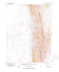
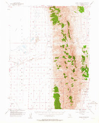
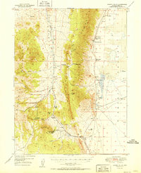
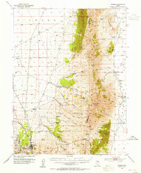
Editions of this 1957 Diamond Springs Map
3 editions found
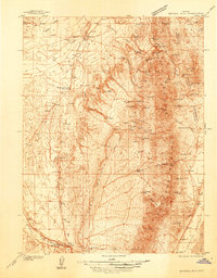
Other maps of this area

1926 · Roberts Mountains
USGS Topo · 1:250,000

1929 · Roberts Mountains
USGS Topo · 1:250,000

1934 · Jiggs
USGS Topo · 1:125,000
1937 · Mineral Hill
USGS Topo · 1:48,000

1937 · Jiggs
USGS Topo · 1:125,000

1943 · Mineral Hill
USGS Topo · 1:62,500
1949 · Garden Valley
USGS Topo · 1:62,500
1951 · Garden Valley
USGS Topo · 1:62,500
1953 · Eureka
USGS Topo · 1:62,500

1955 · Millett
USGS Topo · 1:250,000