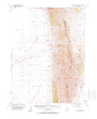
1957 Map of Diamond Springs
USGS Topo · Published 1959About this map
Diamond Mountains dominate the eastern half of this 1957 survey, creating a formidable barrier between Diamond Valley to the west and the high basins of White Pine County. The landscape is defined by its strategic water sources and cattle ranching history, with the landmark Diamond Springs and Thompson Ranch situated along the edge of the Alkali Flat. To the south, Maggini Ranch and Goicoechea Ranch mark the limited habitable zones where springs like Potato Spring and Minoletti Spr emerge from the canyon mouths.
Find a feature on this map
51 named features on this map. Tap any name to fly to it.
Don’t see what you’re looking for? This feature index may not catch every label — zoom into the map to look around manually.
Map Details
Editions of this 1957 Diamond Springs Map
3 editions found

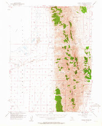
Other maps of this area

1926 · Roberts Mountains
USGS Topo · 1:250,000

1929 · Roberts Mountains
USGS Topo · 1:250,000

1934 · Jiggs
USGS Topo · 1:125,000

1937 · Mineral Hill
USGS Topo · 1:48,000

1937 · Jiggs
USGS Topo · 1:125,000

1943 · Mineral Hill
USGS Topo · 1:62,500

1949 · Garden Valley
USGS Topo · 1:62,500

1951 · Garden Valley
USGS Topo · 1:62,500

1953 · Eureka
USGS Topo · 1:62,500

1955 · Millett
USGS Topo · 1:250,000