
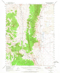
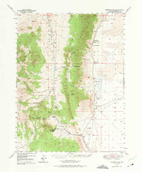
1949 Map of Garden Valley
USGS Topo · Published 1958About this map
Sulphur Spring Range and the Roberts Mountains dominate this high-desert landscape in central Nevada at the end of the 1940s. The topographic detail captures the isolated nature of Basin and Range ranching, where water is the primary driver of settlement. Distinct ranching operations like Siri Ranch, Sadler Ranch, and Romano Ranch sit on the margins of Garden Valley, sustained by scattered water sources such as Shipley Hot Spring and McCloud Spr.
Find a feature on this map
40 named features on this map. Tap any name to fly to it.
Don’t see what you’re looking for? This feature index may not catch every label — zoom into the map to look around manually.
Map Details
Editions of this 1949 Garden Valley Map
3 editions found
Other maps of this area

1926 · Roberts Mountains
USGS Topo · 1:250,000

1929 · Roberts Mountains
USGS Topo · 1:250,000

1934 · Jiggs
USGS Topo · 1:125,000

1937 · Mineral Hill
USGS Topo · 1:48,000

1937 · Jiggs
USGS Topo · 1:125,000

1943 · Mineral Hill
USGS Topo · 1:62,500

1949 · Roberts Creek Mtn
USGS Topo · 1:62,500

1951 · Roberts Creek Mtn
USGS Topo · 1:62,500

1951 · Garden Valley
USGS Topo · 1:62,500

1953 · Eureka
USGS Topo · 1:62,500