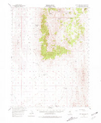
1957 Map of Buck Mountain
USGS Topo · Published 1981About this map
Newark Valley and the prominent heights of Buck Mountain dominate this mid-century survey of White Pine County. The landscape is defined by its transition from the alkali flats of the valley floor to the high ridges of the Basin and Range, where numerous water sources like Moore Springs, Cottonwood Spring, and Woodchuck Spring were critical for survival in the arid terrain. Traces of regional history are visible in the form of the Elko-Hamilton Stage Route, which skirts the western foothills. The importance of reliable water in this livestock and travel corridor is underscored by the presence of Goicoechea Well and the naming of Buck Station along Deadman Creek, representing the isolated outposts and cattle-driving infrastructure essential to the Nevada interior during this era.
Find a feature on this map
28 named features on this map. Tap any name to fly to it.
Don’t see what you’re looking for? This feature index may not catch every label — zoom into the map to look around manually.
Map Details
Editions of this 1957 Buck Mountain Map
3 editions found
Other maps of this area

1951 · Illipah
USGS Topo · 1:62,500

1951 · Pancake Summit
USGS Topo · 1:62,500

1953 · Pinto Summit
USGS Topo · 1:62,500

1953 · Eureka
USGS Topo · 1:62,500

1956 · Ely
USGS Topo · 1:250,000

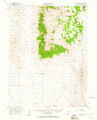
1957 · Buck Mountain
USGS Topo · 1:62,500

1957 · Diamond Springs
USGS Topo · 1:62,500

1957 · Cold Creek Ranch
USGS Topo · 1:62,500

1959 · Ely
USGS Topo · 1:250,000

1963 · Ely
USGS Topo · 1:250,000