
1956 Map of Cockalorum Wash
USGS Topo · Published 1957About this map
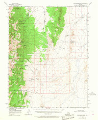
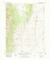
The high desert landscape of central Nevada is defined by the sharp vertical contrast between the Fish Creek Range and the expansive Little Smoky Valley. This mid-century survey reveals a territory where survival was tied to scattered water sources, evidenced by the string of springs along the eastern edge of the mountains, including Kinkead Spring, Sheep Spring, and Cockalorum Spring. Ranching outposts such as Indian Spring Ranch and Willow Creek Ranch established themselves where drainage from the Pancake Range provided reliable flow. The map documents the boundary where Eureka and Nye Counties meet amidst a network of canyons, from the northern Davis Canyon to the southern Moonshine Creek. This area illustrates the typical Great Basin settlement pattern of the 1950s, with isolated homesteads like Snowball Ranch positioned far from the few primitive roads crossing the valley floor.
Find a feature on this map
40 named features on this map. Tap any name to fly to it.
Don’t see what you’re looking for? This feature index may not catch every label — zoom into the map to look around manually.
Map Details
Editions of this 1956 Cockalorum Wash Map
3 editions found
Other maps of this area

1926 · Roberts Mountains
USGS Topo · 1:250,000

1929 · Roberts Mountains
USGS Topo · 1:250,000

1953 · Pinto Summit
USGS Topo · 1:62,500

1955 · Millett
USGS Topo · 1:250,000

1956 · Bellevue Peak
USGS Topo · 1:62,500

1956 · Horse Heaven Mtn
USGS Topo · 1:62,500

1956 · Antelope Peak
USGS Topo · 1:62,500

1956 · Lund
USGS Topo · 1:250,000

1956 · Ely
USGS Topo · 1:250,000

1956 · Tonopah
USGS Topo · 1:250,000