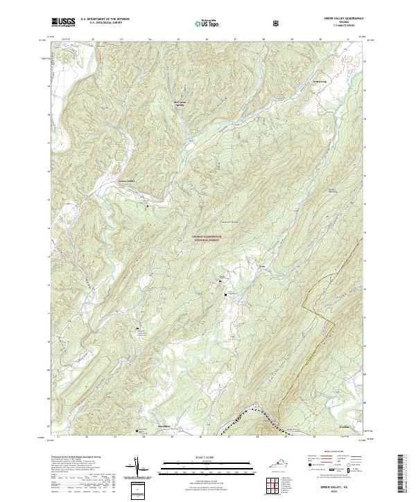
2022 Map of Green Valley
USGS Topo · Published 2022About this map
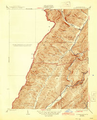
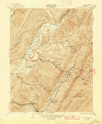
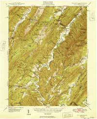
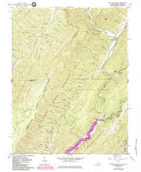
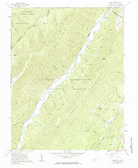
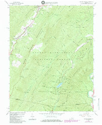
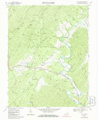
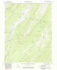
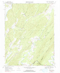
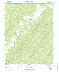
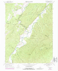
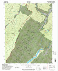
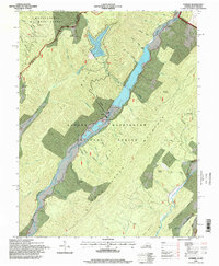
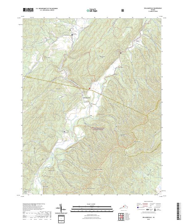
The George Washington National Forest dominates this landscape in Bath and Rockbridge Counties, where steep ridges and deep hollows dictate the layout of small mountain communities. The central valley is defined by the winding course of Mill Creek and Little Mill Cr, while the village of Goshen sits at the southern edge near the Caldpasture River. This area is particularly rich in genealogical sites, with numerous burial grounds including the Bethel Family Cem, Lyle Chapel Cem, and Rehobeth Community Church Cem scattered along the lower elevations. High points such as Walker Mountain and Mill Mtn frame the corridor, while named landmarks like McCowan Spring and Ratcliff Hill provide specific navigational points. The settlement patterns follow the drainages of Stuart Run and Laurel Br, where the terrain briefly opens enough to support rural hamlets like Green Valley and Hotchkiss.
Find a feature on this map
53 named features on this map. Tap any name to fly to it.
Don’t see what you’re looking for? This feature index may not catch every label — zoom into the map to look around manually.
Map Details
Editions of this 2022 Green Valley Map
This is the sole edition of this map. No revisions or reprints were ever made.
Historical Maps of Goshen Through Time
27 maps found

1930 Mountain Grove
Bath County, VA
1930 Warm Springs Run
Bath County, VA
1931 Healing Springs
Bath County, VA
1933 Healing Springs
Bath County, VA
1933 Mountain Grove
Bath County, VA
1933 Warm Springs Run
Bath County, VA

1946 Williamsville
Bath County, VA
1949 Williamsville
Bath County, VA
1961 Mountain Grove
Bath County, VA
1961 Sunrise
Bath County, VA
1966 Healing Springs
Bath County, VA
1968 Bath Alum
Bath County, VA
1969 Burnsville
Bath County, VA
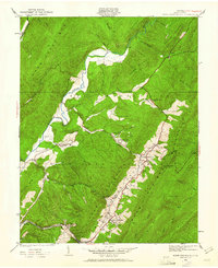
1969 Green Valley
Bath County, VA
1969 Nimrod Hall
Bath County, VA
1969 Williamsville
Bath County, VA
1995 Mountain Grove
Bath County, VA
1995 Sunrise
Bath County, VA
1999 Williamsville
Bath County, VA
2022 Bath Alum
Bath County, VA
2022 Burnsville
Bath County, VA
2022 Green Valley
Bath County, VA
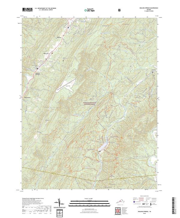
2022 Healing Springs
Bath County, VA
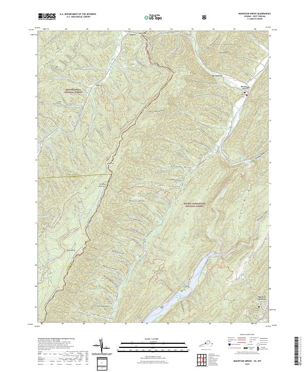
2022 Mountain Grove
Bath County, VA
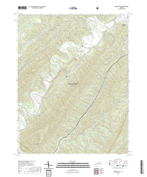
2022 Nimrod Hall
Bath County, VA
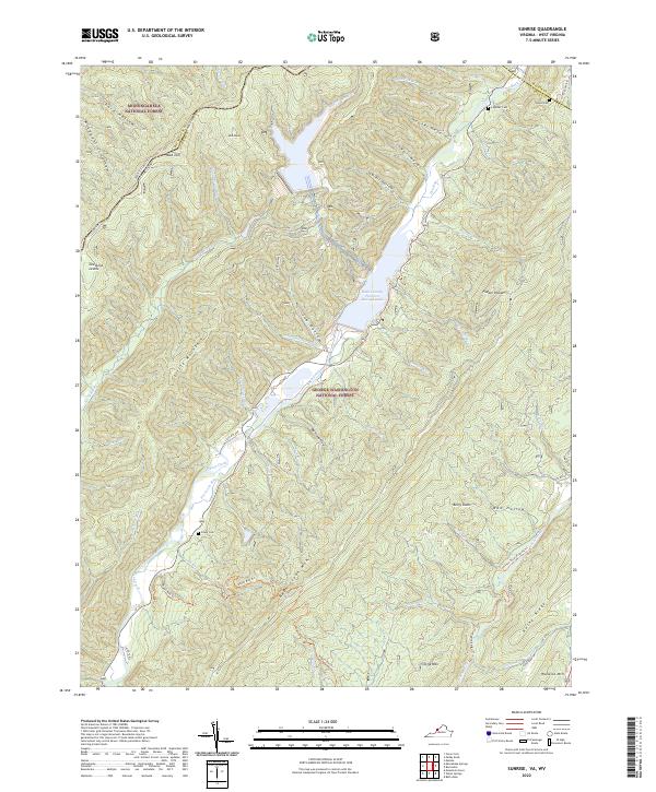
2022 Sunrise
Bath County, VA
2022 Williamsville
Bath County, VA