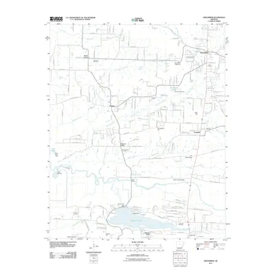
2011 Map of Greenbrier
USGS Topo · Published 2011About this map
Beaver Fork Lake and its surrounding developments define the southern portion of this region, where the community of Lakeview Acres meets the water's edge. This modern survey illustrates the suburban expansion of the central Arkansas corridor, showing the established residential patterns near Greenbrier and Wooster. The landscape is a transition from the drainage basins of Kaney Creek and East Fork Cadron Creek to the distinct elevations of North Cadron Ridge and Pisgah Mountain.
Find a feature on this map
165 named features on this map. Tap any name to fly to it.
Don’t see what you’re looking for? This feature index may not catch every label — zoom into the map to look around manually.
Map Details
Editions of this 2011 Greenbrier Map
This is the sole edition of this map. No revisions or reprints were ever made.
Other maps of this area

1892 · Morrillton
USGS Topo · 1:125,000

1894 · Morrillton
USGS Topo · 1:125,000

1956 · Russellville
USGS Topo · 1:250,000

1961 · Menifee
USGS Topo · 1:24,000

1961 · Gleason
USGS Topo · 1:24,000

1961 · Conway
USGS Topo · 1:24,000

1961 · Conway
USGS Topo · 1:62,500

1961 · Bee Branch
USGS Topo · 1:62,500

1961 · Greenbrier
USGS Topo · 1:24,000

1961 · Damascus
USGS Topo · 1:24,000