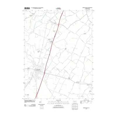
2010 Map of Greencastle
USGS Topo · Published 2010About this map
Greencastle serves as the primary hub of this south-central Pennsylvania landscape, where a dense network of local roads such as Jacks Mill Rd and Swamp Fox Rd connect smaller agricultural and residential clusters. The terrain is defined by the winding course of Conococheague Creek in the northwest and Muddy Run through the center, while Grindstone Hill provides a distinct geographic landmark to the east of the main borough. Specialized land use is evident at the Brown's Mill Poultry Farm and the Cumberland Valley Airstrip.
Find a feature on this map
76 named features on this map. Tap any name to fly to it.
Don’t see what you’re looking for? This feature index may not catch every label — zoom into the map to look around manually.
Map Details
Editions of this 2010 Greencastle Map
This is the sole edition of this map. No revisions or reprints were ever made.
Other maps of this area

1900 · Mercersburg
USGS Topo · 1:62,500

1902 · Chambersburg
USGS Topo · 1:62,500

1902 · Mercersburg
USGS Topo · 1:62,500

1909 · Hagerstown
USGS Topo · 1:48,000

1912 · Hagerstown
USGS Topo · 1:62,500

1912 · Williamsport
USGS Topo · 1:62,500

1942 · Hagerstown
USGS Topo · 1:125,000

1943 · Hagerstown
USGS Topo · 1:125,000

1943 · Chambersburg
USGS Topo · 1:62,500

1943 · Mercersburg
USGS Topo · 1:62,500