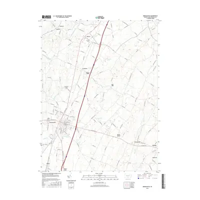
2016 Map of Greencastle
USGS Topo · Published 2016About this map
Greencastle serves as the central hub of this Franklin County landscape, where the town's dense residential grid meets the expansive agricultural valleys of southern Pennsylvania. The map illustrates a corridor of long-established settlements along the north-south axis, including Marion, Kauffman, and State Line, reflecting the historic movement patterns through the Cumberland Valley. Natural springs are a defining characteristic of the local geography, with Tayamentasachta Spring, Oak Spring, and Moss Spring emerging throughout the limestone terrain.
Find a feature on this map
131 named features on this map. Tap any name to fly to it.
Don’t see what you’re looking for? This feature index may not catch every label — zoom into the map to look around manually.
Map Details
Editions of this 2016 Greencastle Map
This is the sole edition of this map. No revisions or reprints were ever made.
Other maps of this area

1900 · Mercersburg
USGS Topo · 1:62,500

1902 · Chambersburg
USGS Topo · 1:62,500

1902 · Mercersburg
USGS Topo · 1:62,500

1909 · Hagerstown
USGS Topo · 1:48,000

1912 · Hagerstown
USGS Topo · 1:62,500

1912 · Williamsport
USGS Topo · 1:62,500

1942 · Hagerstown
USGS Topo · 1:125,000

1943 · Hagerstown
USGS Topo · 1:125,000

1943 · Chambersburg
USGS Topo · 1:62,500

1943 · Mercersburg
USGS Topo · 1:62,500