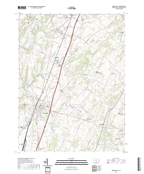
2023 Map of Greencastle
USGS Topo · Published 2023About this map
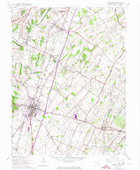
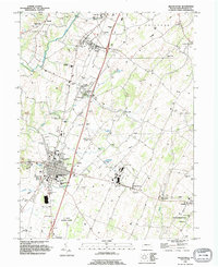
Greencastle serves as the focal point of this Pennsylvania landscape, where early settlement patterns are clearly etched along the banks of Conococheague Creek and Muddy Run. The area is notably dense with religious and genealogical sites, reflecting a deep-rooted heritage of Dunkard, Mennonite, and Lutheran congregations. Significant sites like the Paradise Dunkard Meetinghouse and Browns Mill Dunkard Cem suggest a historical landscape defined by these tight-knit communities.
Find a feature on this map
159 named features on this map. Tap any name to fly to it.
Don’t see what you’re looking for? This feature index may not catch every label — zoom into the map to look around manually.
Map Details
Editions of this 2023 Greencastle Map
This is the sole edition of this map. No revisions or reprints were ever made.
Historical Maps of Kauffman Through Time
3 maps found