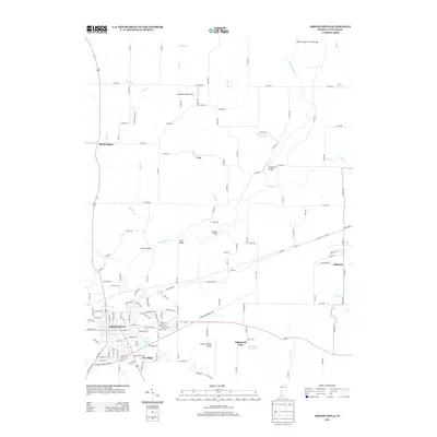
2013 Map of Greencastle
USGS Topo · Published 2013About this map
The university town of Greencastle serves as the focal point for this survey, showcasing its established street grid and expansion into residential areas like Fox Ridge. The landscape is defined by the winding course of Big Walnut Creek, which is spanned by a series of notable river crossings including Houck Bridge, Crow Bridge, and the historic Bakers Camp Covered Bridge. To the east, the village of Fillmore sits along the rail corridor, while smaller communities like Brick Chapel and Cary anchor the rural northern sections of the county. The transition from industrial to recreational land use is evident at Quarry Pond, located just south of the main city center near Anderson Street. Transportation infrastructure is a primary feature, from the regional connectivity of the Putnam County Airport to the intricate network of county roads that navigate the local tributaries of Deer Creek and Clear Creek.
Find a feature on this map
122 named features on this map. Tap any name to fly to it.
Don’t see what you’re looking for? This feature index may not catch every label — zoom into the map to look around manually.
Map Details
Editions of this 2013 Greencastle Map
This is the sole edition of this map. No revisions or reprints were ever made.
Other maps of this area

1951 · Clinton Falls
USGS Topo · 1:24,000

1952 · Reelsville
USGS Topo · 1:24,000

1953 · Indianapolis
USGS Topo · 1:250,000

1955 · Russellville
USGS Topo · 1:24,000

1956 · Indianapolis
USGS Topo · 1:250,000

1956 · Cloverdale
USGS Topo · 1:24,000

1956 · Eminence
USGS Topo · 1:24,000

1957 · Indianapolis
USGS Topo · 1:250,000

1958 · Roachdale
USGS Topo · 1:24,000

1958 · Coatesville
USGS Topo · 1:24,000