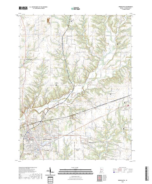
2022 Map of Greencastle
USGS Topo · Published 2022About this map
Greencastle serves as the focal point of this Putnam County landscape, defined by the prominent campus of Depauw University and the historic Putnam County Courthouse. The city is surrounded by a network of recreational paths, including the Vandalia Trail and the Greencastle/Fillmore Path, which follow former rail corridors toward the community of Fillmore. North of the city, the terrain is shaped by the winding course of Big Walnut Creek and its many tributaries like Bledsoe Br and Snoddy Br.
Find a feature on this map
65 named features on this map. Tap any name to fly to it.
Don’t see what you’re looking for? This feature index may not catch every label — zoom into the map to look around manually.
Map Details
Editions of this 2022 Greencastle Map
This is the sole edition of this map. No revisions or reprints were ever made.
Other maps of this area

1951 · Clinton Falls
USGS Topo · 1:24,000

1952 · Reelsville
USGS Topo · 1:24,000

1953 · Indianapolis
USGS Topo · 1:250,000

1955 · Russellville
USGS Topo · 1:24,000

1956 · Indianapolis
USGS Topo · 1:250,000

1956 · Cloverdale
USGS Topo · 1:24,000

1956 · Eminence
USGS Topo · 1:24,000

1957 · Indianapolis
USGS Topo · 1:250,000

1958 · Roachdale
USGS Topo · 1:24,000

1958 · Coatesville
USGS Topo · 1:24,000