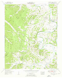
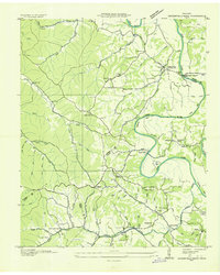
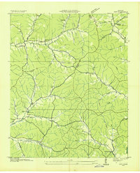
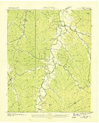
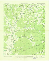
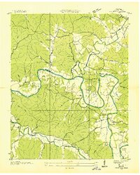
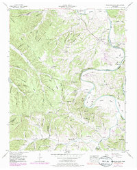
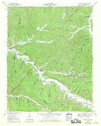
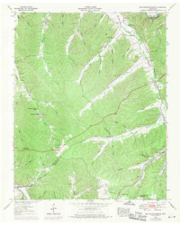
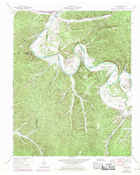
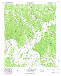
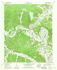
1951 Map of Greenfield Bend
USGS Topo · Published 1957This historical map portrays the area of Greenfield Bend in 1951, primarily covering Hickman County as well as portions of Lewis County and Maury County. Featuring a scale of 1:24000, this map provides a highly detailed snapshot of the terrain, roads, buildings, counties, and historical landmarks in the Greenfield Bend region at the time. Published in 1957, it is one of 3 known editions of this map due to revisions or reprints.
Find a feature on this map
143 named features on this map. Tap any name to fly to it.
Don’t see what you’re looking for? This feature index may not catch every label — zoom into the map to look around manually.
Map Details
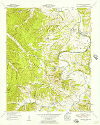
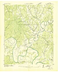
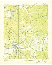
Editions of this 1951 Greenfield Bend Map
3 editions found
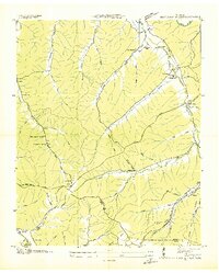
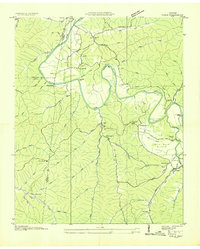
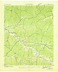
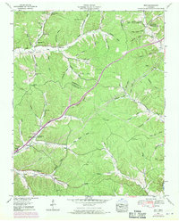
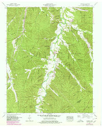
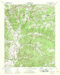
Historical Maps of Center Star Through Time
19 maps found
1936 Beaverdam Springs
Hickman County, TN
1936 Coble
Hickman County, TN
1936 Greenfield Bend
Hickman County, TN
1936 Littlelot
Hickman County, TN
1936 Nunnelly
Hickman County, TN
1936 Pleasantville
Hickman County, TN
1936 Spot
Hickman County, TN
1936 Sunrise
Hickman County, TN
1936 Texas Hollow
Hickman County, TN
1936 Whitfield
Hickman County, TN
1951 Greenfield Bend
Hickman County, TN
1951 Pleasantville
Hickman County, TN
1952 Beaverdam Springs
Hickman County, TN
1952 Coble
Hickman County, TN
1952 Littlelot
Hickman County, TN
1952 Spot
Hickman County, TN
1952 Sunrise
Hickman County, TN
1952 Texas Hollow
Hickman County, TN
1952 Whitfield
Hickman County, TN