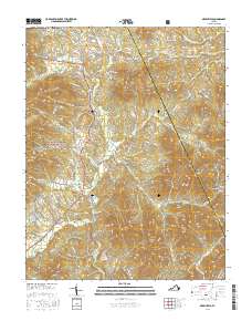
2016 Map of Greenfield
USGS Topo · Published 2016About this map
Nellysford and the Rockfish Valley serve as the focal point for this 2016 survey of the Blue Ridge foothills. The landscape is defined by its transition from the steep, forested slopes of the George Washington National Forest to a series of creek-carved hollows and valleys. Along the southern edge, the S Fork Rockfish River and the Rockfish River proper collect drainage from numerous mountain gaps, including Tool Gap. These watercourses historically shaped the settlement patterns of small communities like Greenfield, Lodebar, and Durrett Town. The interior is marked by several prominent summits such as Massies Mtn, Pilot Mtn, and Ennis Mtn. Local genealogy and land history are anchored by landmarks such as the Holy Cross Cem near Mechums River and established crossroad sites like Martins Store.
Find a feature on this map
113 named features on this map. Tap any name to fly to it.
Don’t see what you’re looking for? This feature index may not catch every label — zoom into the map to look around manually.
Map Details
Editions of this 2016 Greenfield Map
This is the sole edition of this map. No revisions or reprints were ever made.
Other maps of this area

1892 · Buckingham
USGS Topo · 1:125,000

1892 · Harrisonburg
USGS Topo · 1:125,000

1929 · Covesville
USGS Topo · 1:62,500

1931 · University
USGS Topo · 1:62,500

1934 · Waynesboro
USGS Topo · 1:48,000

1935 · Covesville
USGS Topo · 1:62,500

1935 · University
USGS Topo · 1:62,500

1939 · Waynesboro
USGS Topo · 1:62,500

1943 · Lovingston
USGS Topo · 1:62,500

1945 · Covesville
USGS Topo · 1:62,500