1979 Map of Greenfield
USGS Topo · Published 1982About this map
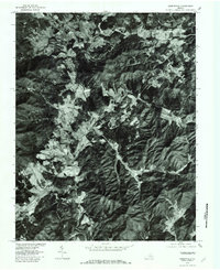
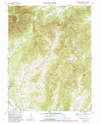
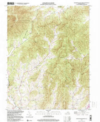
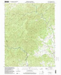
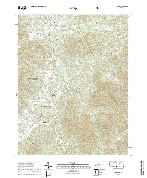
Greenfield and its surrounding landscape in Nelson County are documented in this orthophotoquad, which combines aerial imagery with topographic precision. The settlement pattern here follows the drainage of the North Fork Rockfish River and South Fork Rockfish River, where narrow valleys provided the primary routes for development in this part of Virginia. The image reveals a mosaic of cleared agricultural land and dense forest, particularly around the heights of Pilot Mountain and the smaller hamlets of Avon, Ona, and Heards. Researchers can clearly see the transition from river bottomlands to the wooded slopes that hem in Nelly s Ford. This photographic record captures the exact land use and homestead footprints before the late-20th-century growth changed the character of these mountain hollows, providing a raw look at the road networks and watercourses like Taylor Creek and Perry Creek.
Find a feature on this map
11 named features on this map. Tap any name to fly to it.
Don’t see what you’re looking for? This feature index may not catch every label — zoom into the map to look around manually.
Map Details
Editions of this 1979 Greenfield Map
This is the sole edition of this map. No revisions or reprints were ever made.
Historical Maps of Nellysford Through Time
10 maps found
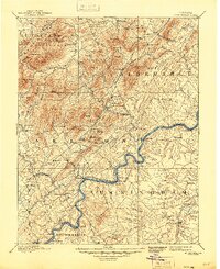
1892 Buckingham
Nelson County, VA
1965 Massies Mill
Nelson County, VA
1967 Greenfield
Nelson County, VA
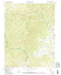
1967 Horseshoe Mountain
Nelson County, VA
1979 Greenfield
Nelson County, VA
1999 Horseshoe Mountain
Nelson County, VA
1999 Massies Mill
Nelson County, VA
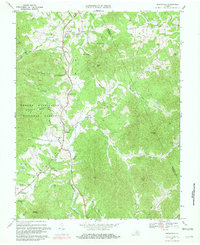
2022 Greenfield
Nelson County, VA
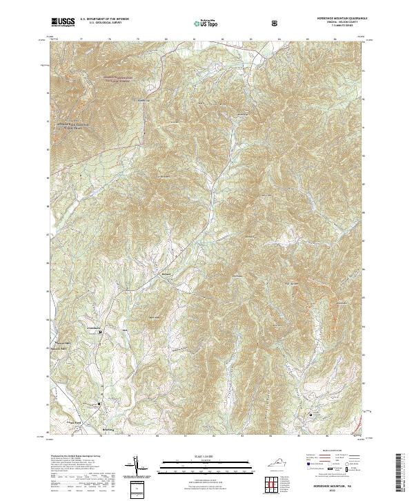
2022 Horseshoe Mountain
Nelson County, VA
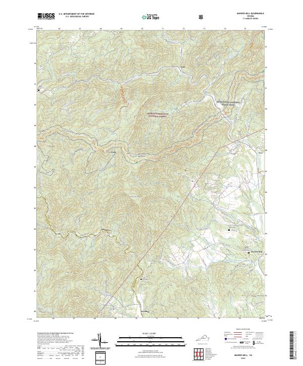
2022 Massies Mill
Nelson County, VA